Publication date
14/05/2019
Update date
09/10/2024

Description
The challenge
Aporta Challenge 2019 is an initiative promoted by datos.gob.es with the aim of identifying new ideas and prototypes based on open data, in order to help improve efficiency in strategic sectors for the Spanish economy, in this case, agri-food, forestry and rural sector. The Aporta Challenge drives the use and direct reuse of information generated by the public sector, encouraging participants’ talent, technical capacity and creativity. All the information about Aporta Challenge 2019 can be found at https://datos.gob.es/es/desafios-aporta.
Agri-food, forestry and rural sector data
When we look for that much-desired inspiration to find innovative and brilliant solutions for a certain sector, we immediately think of data. Having a wealth of data to represent the key processes of a sector is synonymous with success in the creation of disruptive and valuable solutions.
In particular, the agri-food, forestry and rural sectors cannot be characterized correctly without adequate data. It is not possible to think of innovative solutions for these sectors without maps, territory distribution by uses, aerial images (with drones or airplanes), satellite images, data from terrestrial sensors, weather forecasts, etc.
To participate in the Aporta Challenge, it is necessary to use at least one source of open data generated by Public Administrations, whether national or international, and published under an open license. It can be any type of data: INE statistics, meteorological data published by AEMET... but, if something characterizes many digital solutions for these sectors, it is the (almost) indivisible association between data and maps. Therefore, this time we are going to focus on this type of data -although others could be used- and the rest of the ingredients needed to obtain the perfect recipe for Aporta Challenge 2019:
- The use of Geographic Information System (GIS).
- Analytical tools such as programming languages and data science environments, APIs and connectors for data sources access.
- Visual data presentation and an adequate storytelling.
Geographic Information System (GIS)
The National Geographical Institute (IGN) is probably the best source of open geographic data in our country. In the IGN portal we can find validated and quality information in terms of geographic maps, PNOA (National Plan of Aerial Orthophotography) orthophotos and positioning services.
Intimately related to the IGN, the Ministry of Agriculture, Fisheries and Food offers the Agrarian Geographic Information System (SIGA) that shows cartographic and alphanumeric information, such as general cartography, thematic maps on agroclimatic variables or reports on municipalities and meteorological stations.
In addition, the website of the Ministry for Ecological Transition offers interesting data on maps. For example, the Ministry offers a service called Acuivisor to interactively explore the areas of mollusk production and aquaculture in Spain. In the same way, the Ministry offers citizens a Nature Data Bank where databases and thematic cartography can be found. Among many other open data, we can access to the Spanish forest map, which includes the distribution of Spanish forest stands since they began their first work a little over a hundred years ago.
For its part, the Spanish Meteorological Agency (AEMET) makes available to citizens, through its open data portal, all data related to weather forecast and climate data so that it is accessible and reusable by both people and applications in order to develop innovative solutions.
But not only geographical data feed solutions aimed at improving the efficiency of the agri-food, forestry and rural sector. In this report, recently published by datos.gob.es, you can find other repositories and resources that can help you to design your solution.
Data environments and programming languages
Once data sources have been selected, we must think about sources access, to extract the data of interest, and then carry out the corresponding analyses, something that will take place during Phase 2 of the Challenge.
In data science, there is an iterative process that consists of extracting, manipulating and transforming interesting data, and then modeling and communicating the result appropriately in the form of conclusions and valuable information. If we want to implement this process to create our prototype for Aporta Challenge 2019, here are some tips:
- Prototyping consists of failing fast and cheaply. Even if your team has the necessary programming skills, do not try to implement a complete (and therefore complex) solution based on data.
- If you are building a prototype, use prototyping tools. The first prototyping tool is to access and explore manually the potentially interesting data for our solution, either using our own tools (spreadsheets, map viewers, etc.) or the integrated utilities offered by data repositories.
- APIs and access to data repositories. We know that we can access to data offered in open and reusable standards in very different ways. We can use programs (access programmatically) and we can use tools such as Postman. Postman is a free product that has become a standard for accessing and testing APIs of all kinds. Postman allows you to extract data from any API easily and quickly. It is a great way to prototype.
- Tell a good story. Before moving forward with your prototype in the following complexity phases, ask yourself if with the data you have (and its corresponding analysis) you are able to communicate a good story. Sometimes we can have some fantastic data and analysis but, nevertheless, we are not able to tell a good story.
Your DataStory
Finally, if you have good data, these are accessible and reusable, and you have verified that you have a good story, you just need to implement your solution in a solid way and assemble your story. If your team has programming skills, it is sure that you will use R or Python as the main languages for data analysis. But do not stay there. Telling a good story goes far beyond programming and analysing data.
Telling a good story is about writing a good script (the storyline). Telling a good story is about falling in love and surprising the audience and, for that, you need good design and impressive images that reinforce the data message. If you are able to combine the presentation of your story with a functional application that shows the value of the data you use, you will have won. Telling your story through a web application such as Shiny will give you many points. If you prefer to emphasize the value of analyzing your data in a modern and current way, use notebooks like Jupyter and you will have assured success. If you need inspiration or go deeper into this concept of data-based stories (remember that maps play a special role in Aporta Challenge 2019) I recommend you visit the ESRI company's StoryMaps website and you can check the strength of a good story based on data and maps. In the post on Medium you will find a list of different types of tools to tell stories with data.
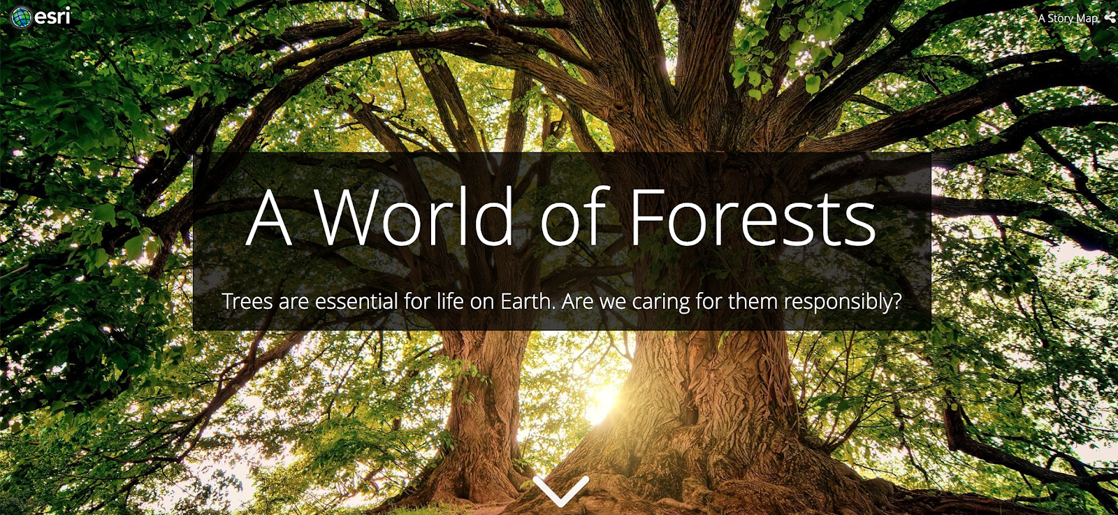
Example of StoryMap related to the theme of the Aporta Challenge 2019. https://storymaps.esri.com/stories/2019/anthropocene/3-forests/index.ht…;
Cheer up and go for Aporta Challenge 2019!
Content prepared by Alejandro Alija, expert in Digital Transformation and innovation.
Contents and points of view expressed in this publication are the exclusive responsibility of its author.