Publication date
24/04/2019
Update date
07/10/2024

Description
Fruit of almost 150 years of activity, the National Geographic Institute treasures a large volume of valuable data related to the observation of land and space. Although its competences and functions have changed throughout this century, the IGN collects, processes and adds value to data in areas such as astronomy, geodesy, seismology, volcanology, cartography and, of course, the observation of the territory, in order to make them available to citizens, companies and other public administrations.
A debate overcoming is the fact that the publication as open data of high-value public data sets encourages its reuse. In the case of open data related to the observation of the territory, the publication generates, among other returns, advances in science, allows a more efficient management of natural resources and promotes applications focused on trade and industry.
To consolidate this vision, studies such as the return on investment of the Landsat service in the United States since its publication as open data at the end of 2008, carried out by the U.S. Geological Survey, and the recent report of the European Space Agency that highlight the impact of land observation data for driving compliance with the Sustainable Development Goals.
In Spain we are lucky enough to have the National Geographic Institute as a reference among institutions for their relationship and support to the open data community. Similar to the General Directorate of the Cadastre, the IGN has frequently participated in relevant pen data events such as Aporta Meeting or Jornadas del SIG Libre, and has worked to promote the reuse of their data. The open data policy of the official IGN cartographic products was published as a ministerial order in 2015.
As we told you recently, the distribution and commercialization of the IGN geographical data is done through the National Geographic Information Center, whose download center offer different resources. But in addition, the IGN performs another mission of crucial importance in the coordination of different projects that integrate their own data with data from regional and local administrations and other agencies and institutions from the General State Administration such as the Ministry of Agriculture, Fisheries and Food (MAPA) or the Ministry for the Ecological Transition (MITECO). As almost always happens, the products that are result of collaboration have much more value than those that are the result of individual effort. Thanks to this, we enjoy some projects such as PNOA, SIOSE or redGAE.
PNOA
The National Aerial Orthophotography Plan (PNOA) is a cooperative project, co-financed by both the General State Administration and the Autonomous Communities, which was born in 2004 with PNOA Imagen and was expanded in 2009 with PNOA LiDAR. The objectives are, on the one hand, to obtain digital aerial orthophotos of the entire Spanish territory and, on the other hand, to obtain high precision digital elevation models (MDE) with LiDAR technology.
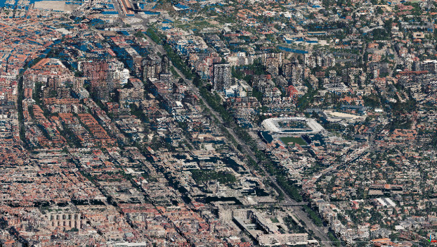
Without going into many details, we can say that an orthophoto is an aerial photograph that has been modified so that measurements can be taken at a certain scale as the same way as a map. The result is photographs that we can superimpose on cartography because they have the same properties. It is used, fundamentaly, for public and private applications related to spatial planning, hydrography, forest management or land use, and for this reason they have been used since the beginning of the 20th century, well before PNOA. The IGN has photogrammetric flights since 1930 and also distributes the orthophotos through the Digital Photo Library, where we can observe the evolution of almost any point of the national territory over the last 100 years. Due to the high historical value of this documentation, the PNOA Historical Project was created with the aim of preserving and distributing these data.

Since 2009, the project has been extended and started PNOA LiDAR with the aim of obtaining point clouds with X, Y, Z coordinates and additional attributes, such as classification or color, whose first coverage has already been completed. Using the data captured by airborne LiDAR sensors, products such as Digital Terrain Models are created for different uses: hydrographic, forestry, urban, etc.
PNOA works in a decentralized manner by each autonomous team, being the National Geographic Institute responsible for the final validation and the integration of the resulting products, as well as their publication and distribution.
It is important to highlight that PNOA orthophotos can be integrated, for example, in the OpenStreetMap cartography, since the IGN has granted an express authorization to license any use with the only condition of authorship attribution. This licensing, compatible with Creative Commons 4.0 recognition, is a great boost for data reuse and the creation of new value-added products.
The PNOA orotoimages can be explored in the Cadastre viewer to locate a cadastral reference or to select orthophotos from different years in the PNOA comparator.
The images in ECW format are available for download in the Download Center and, of course, the datasets related to historical orthophotos as well as the maximum resolution PNOA can be found in datos.gob.es.
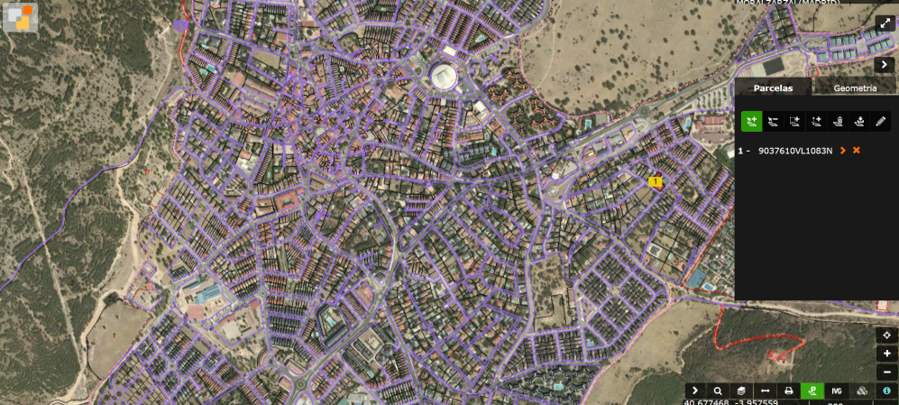
Locator of the cadastral reference of the D.G. of the Cadastre
SIOSE
The Information System on Land Use of Spain (SIOSE) has the objective of generating a database of Land Use for the whole country, integrating information from autonomous communities and the General State Administration.
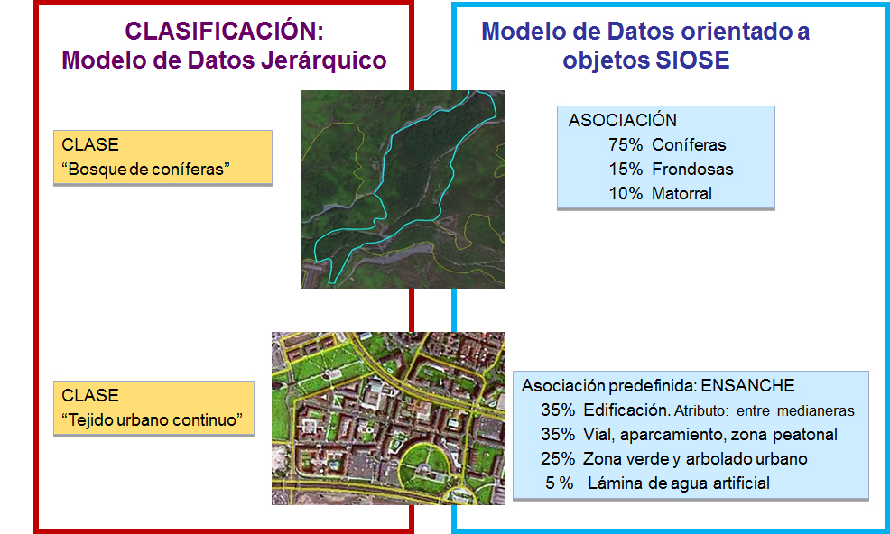
One of the most important features of SIOSE is that it is not a database that just classifies the land according to a traditional hierarchical model, but uses an object-oriented data model. In SIOSE the land is described using coverages or coverages combinations with different percentages of occupation and attributes, which allows multiple-criteria consulting and classifications.
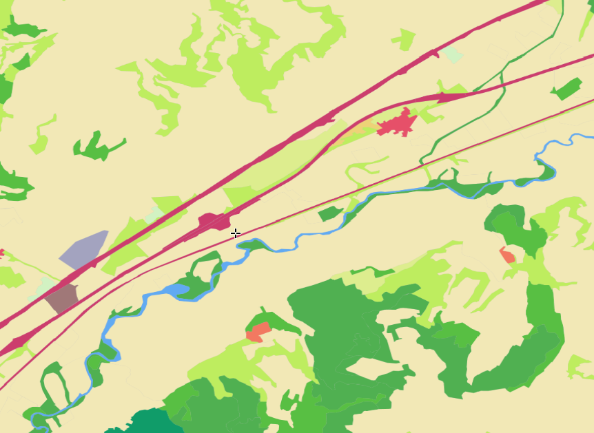
SIOSE database is also distributed through the Download Center of the National Center of Geographic Information (CNIG) and among its many applications we can cite the studies of land occupation, the obtaining of environmental indicators or the planning of the territory. As users we can also explore the SIOSE data through the IBERPIX image viewer.
As PNOA, the work is done in a decentralized manner and following the principles of the INSPIRE Directive (Infrastructure for Spatial Information in Europe), which sets the general rules for the establishment of a Spatial Information Infrastructure in the EU.
GPS / GNSS Positioning Service
Approximately two years ago, in March 2017, the IGN finalized the testing phase of the GNSS Real-Time Positioning System, much more versatile and functional than the previous positioning service that the IGN had been offering, individually, since 2002.
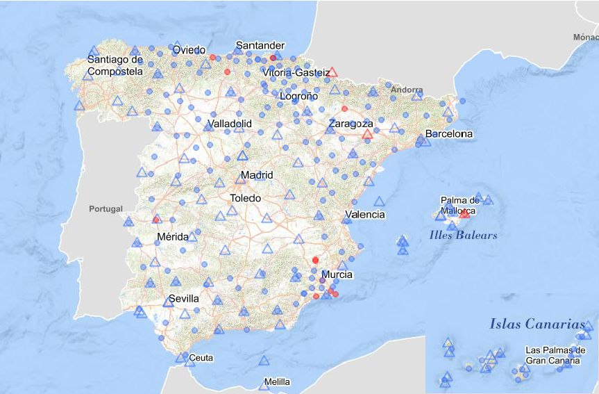
This new service modernizes the previous one and provides a continuous and homogeneous coverage throughout the Spanish territory. To provide this service, the permanent stations of the Autonomous Communities GNSS networks and the National Geodetic Reference Network (ERGNSS) are used. The ERGNSS is made up of approximately 100 permanent GPS / GNSS stations that are distributed throughout the national territory, many of them are integrated in the European network of EUREF and some in the International GNSS Service.
The new service is able to provide users with a real-time positioning with an average quality contrasted in different tests of 2-3 cm.
The three projects we have highlighted, PNOA, SIOSE or the GPS / GNSS Positioning Service, as well as the data generated and distributed, contribute to position Spain among the countries with the greatest openness and availability of open geographic data. Already in the 2016 edition, Spain obtained in the Open Data Barometer a score of 80 out of 100 for this type of data, above the average score and above countries with a better global position, like France.
Finally, it is worth mentioning that the IGN also leads a community of geographic data producers in the three levels of Spanish administration - national, regional and local-, with the title of Spatial Data Infrastructure of Spain (IDEE): a network of more than 70 nodes that publish several thousand web mapping services and more than 100 download centers.
Content prepared by Jose Luis Marín, Head of Corporate Technology Startegy en MADISON MK and Euroalert CEO.
Contents and points of view expressed in this publication are the exclusive responsibility of its author.
Comments