Geographical data is the second data category most reused and consulted by EU companies, just behind statistical information. This statement, taken from Reusing Open Data, by the European Data Portal, highlights the high importance of geographic information in our society and economy.
In Spain, the official body that provides geographic data is the National Geographic Information Center, an autonomous body created in 1989 and assigned to the Ministry of Development through the National Geographic Institute (IGN). Among the functions of the National Geographic Information Center is the publication of the data produced by the IGN itself, guaranteeing its quality, as well as its reuse to create products and services that meet citizens’ demands.
The National Atlas of Spain, geography and history through cartographies
One of these services is National Atlas of Spain, which offers a synthetic and explanatory view of the geography, history and territorial organization of the country. To do so, it uses national cartographic representations, which are complemented with other communication resources such as graphics, texts, tables and charts, illustrations, photographs, satellite images or other multimedia resources.
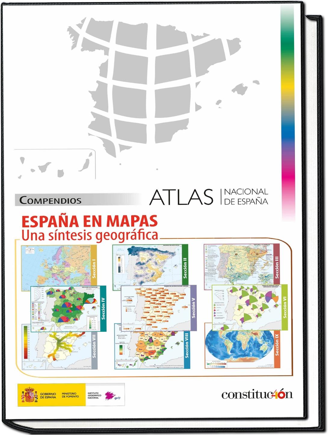
This work has been compiled in España en mapas. Una síntesis geográfica, a volume with more than 600 pages and 800 maps. The document show from Roman settlements and roads, to the distribution of historic gardens or patents obtained. 150 scientists and researchers from 38 universities and research centers, as well as 120 Spanish public bodies and several international organizations have collaborated in its preparation.
The volume can be downloaded in digital format and for free, although it has also been published on paper. It should be noted that users can obtain the data, metadata and shapefile files associated from many of the maps in the CNIG Download Center as open data.
España en mapas was presented in the month of December and, in less than two months, it already had more than 14,000 downloads. The plan of the team is to update this work every 2 years.
Other applications to highlight
España en mapas joins other visualizations made by the IGN, many of which we already compiled in a previous article. However, there is more apps, such as Parques Nacionales, which allows you to consult information related to the history, fauna, flora and routes of all Spanish Natural Parks, including additional information on points of interest, such as information centers, accommodation, viewpoints, shelters, etc., or Mapas de España Básicos, ideal for hiking or other outdoor sports (cycling, running, skiing, etc.).
In addition, an increasing number of companies or citizens are using geographic data and IGN cartographies to develop their own solutions. This is the case of RuralMaps, an application that facilitates the management of emergencies by providing information through dynamic maps that evolve according to the land situation (floods, fires, etc.).
Developers can obtain data through the Download Center, which contains basic topographic data, such as transport networks, vector maps, flight orthophotos, digital elevations models, or even old geographic documentation. All this information can be used commercially, as long as the license requirements are met (CC BY 4.0 ign.es and CC BY 4.0 scne.es when data are co-produced by the IGN and other organizations).
In short, geographic data can be very useful for citizens, to better understand their environment, but they can also be a source of wealth and generation of new services and products through their reuse.