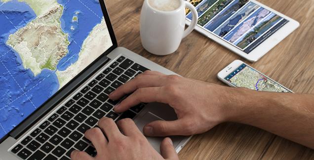
The National Geographic Institute (IGN in Spanish) is a public body belonging to the Ministry of Development that is responsible for measuring and collecting information on the Earth's surface to make it available to users in the form of official maps, cartography, images, data files, web services and applications. Through the National Geographic Information Centre, these data and services are published in numerous visualisers and applications of high interest and usefulness, among which we find:
Web applications:
- Cervantes and 19th century Madrid: Interactive visualiser that allows users to visit the 17th-century Madrid in which Miguel de Cervantes lived based on Pedro Texeira's map. Users can visit the most renowned places, anecdotes of the city of Madrid and tour the 17th century Madrid in which the illustrious author lived.
- Map Comparison Tool: Web application for searching, comparing and downloading information from the cartographic archives of the National Geographic Institute. It includes, for example, the first edition of the National Topographic Map at a 1:50,000 (MTN50) scale and 1:25,000 (MTN25) scale, as well as cartography from the Topographic Archive.
- PNOA Orthophoto Comparison Tool: Web application that allows users to search and compare orthophotos from different years - from its inception in 2004 to the present - against each other and against other sources (rasters, street maps, 1st edition of the MTN50). It offers a tool for the visualisation of two aerial images and maps with different displays: basic, punctual, curtain, mosaic and temporary.
- Digital photo library: Web application that allows users to view, print (in PDF format) and request original photogrammetric certificates for photogrammetric flights made over Spain.
- IBERPIX: Web application that provides a tool to viewing aerial images and scanned maps of the national territory. The desired areas can be displayed at different scales, and users can scroll through images, zoom, measures surfaces and distances, etc.
- National Geographic Information System (SIGNA in Spanish)): Web application that integrates the IGN 's data and services for free and open viewing and analysis. The SIGNA geoportal provides official data and allows for spatial analysis. The tool has three categories: basic (map viewer, images, etc.), GIS (change of coordinate reference systems, spatial searches, routes, etc.) and IDE (integration of different standard OGC web services, data searches, geographical name searches, etc.).
- Nearby Earthquake Viewer: Viewer of earthquakes that have occurred in the last three, ten and thirty days in the Iberian Peninsula, Balearic Islands and Canary Islands of magnitude equal or superior to 1.5 or those that we can feel. Users can also check what to do in case of an earthquake.
Mobile applications:
- IGN Seismology PRO: Free mobile application for IOS and Android that allows the reception and viewing of all available data on earthquakes and seismic movements in Spain and its surroundings. It offers detailed information on the distance from the epicentre of the seismic event and epicentral parameters, geolocation of the user's position and epicentre, the possibility of sending a macro-seismic form and photographs to the National Seismic Network (RSN in Spanish).
- Camino de Santiago: Free mobile application for IOS and Android that facilitates the realisation of the different stages of the Camino de Santiago (Camino Francés, Camino del Norte, etc.), using the cartographic web services of the National Geographic Institute as cartographic background and all the information on the stages provided by the Spanish Federation of Friends of the Camino de Santiago.
- Maps of Spain: Free mobile application for practicing outdoor sports such as hiking, cycling, running or skiing. It uses as background cartography from the IGN. The user can tour national park routes, stages of the Camino de Santiago or plan trips using maps, navigation and guided tours without internet connection.
These applications are accessible from the Applications section of the datos.gob.es portal and recently have also been included in the European OpenData Portal, in the Use Cases section.
In addition to these applications, the National Geographic Institute 's portal includes access to the Download Centre, and a new version was recently published in which the user can download and obtain the IGN's data, and additional developments and functionalities that allow access, searching and purchase of available resources.
We invite you to get to know them. Do not forget to follow the IGN on different social network channels (Facebook, Twitter, Instagram, YouTube) to stay informed about their events and news.