

Images
Information
Description
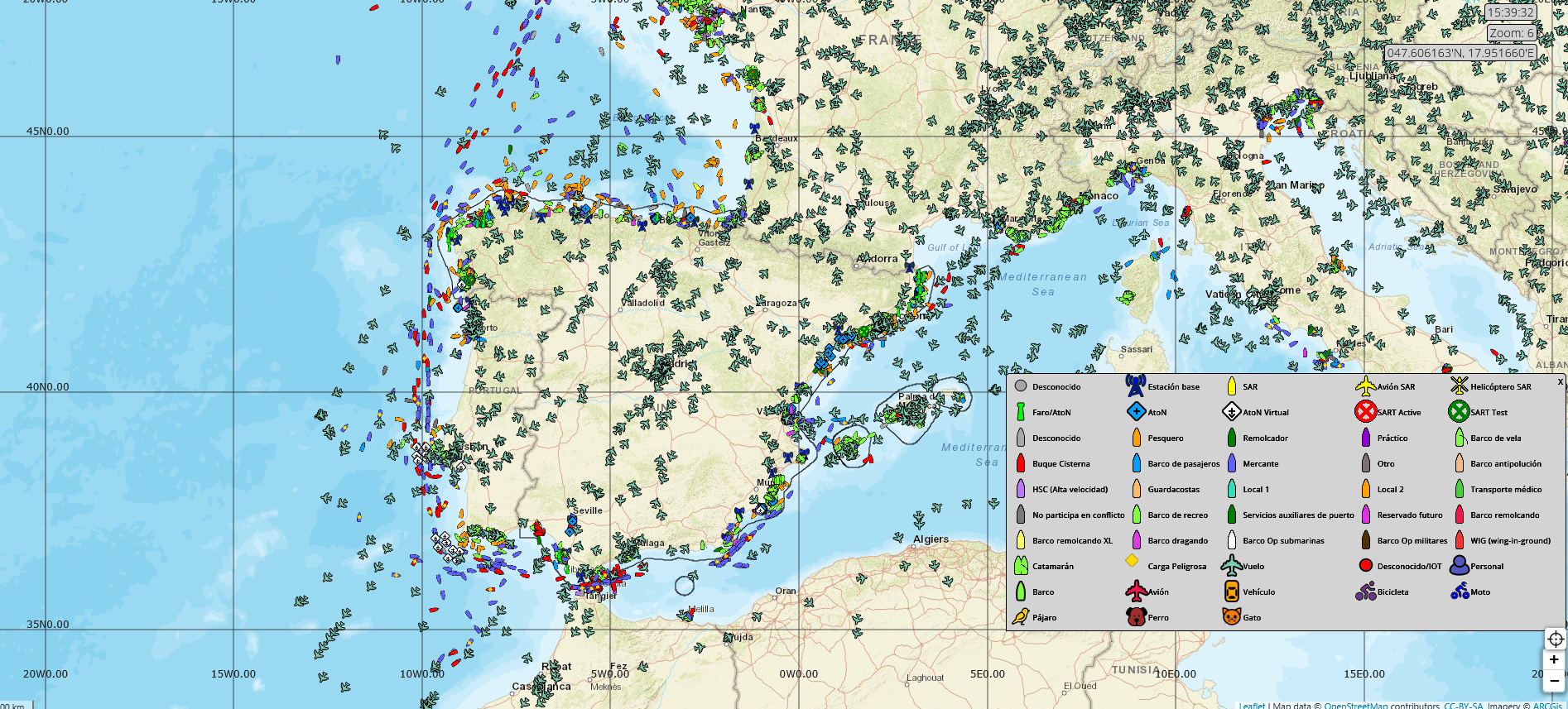
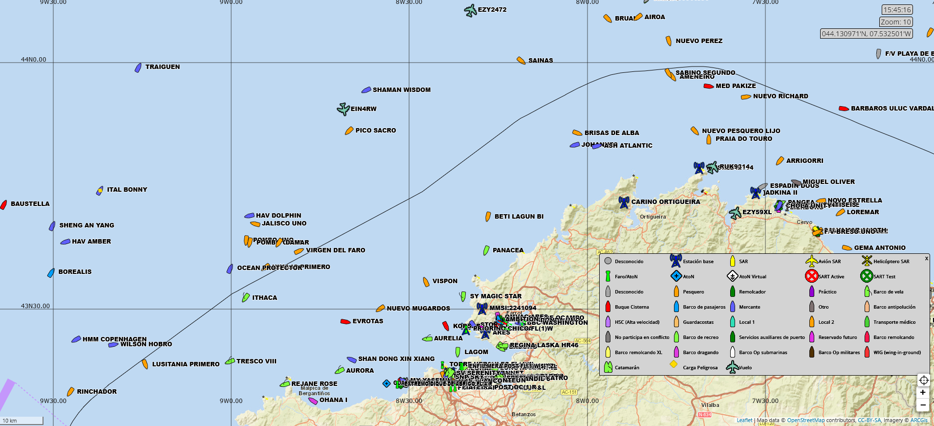
LocalizaTodo is a real-time geoportal for viewing maritime (AIS) and air (ADS-B) traffic, as well as other tracked objects, on a web map. Free to access and requiring no installation, it allows you to view ships and flights in the same viewer, find out their current position, course and speed, and check their route over the last 24 hours.
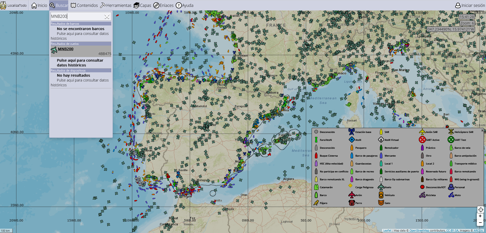
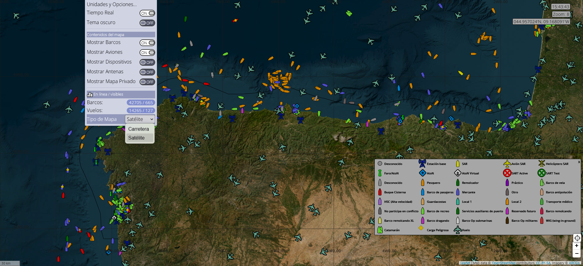
It includes search by name/identifier, filters by type of element and additional layers such as OpenStreetMap cartography, the OpenSeaMap nautical layer, antenna coverage and a weather layer with wind, waves, temperature and pressure.
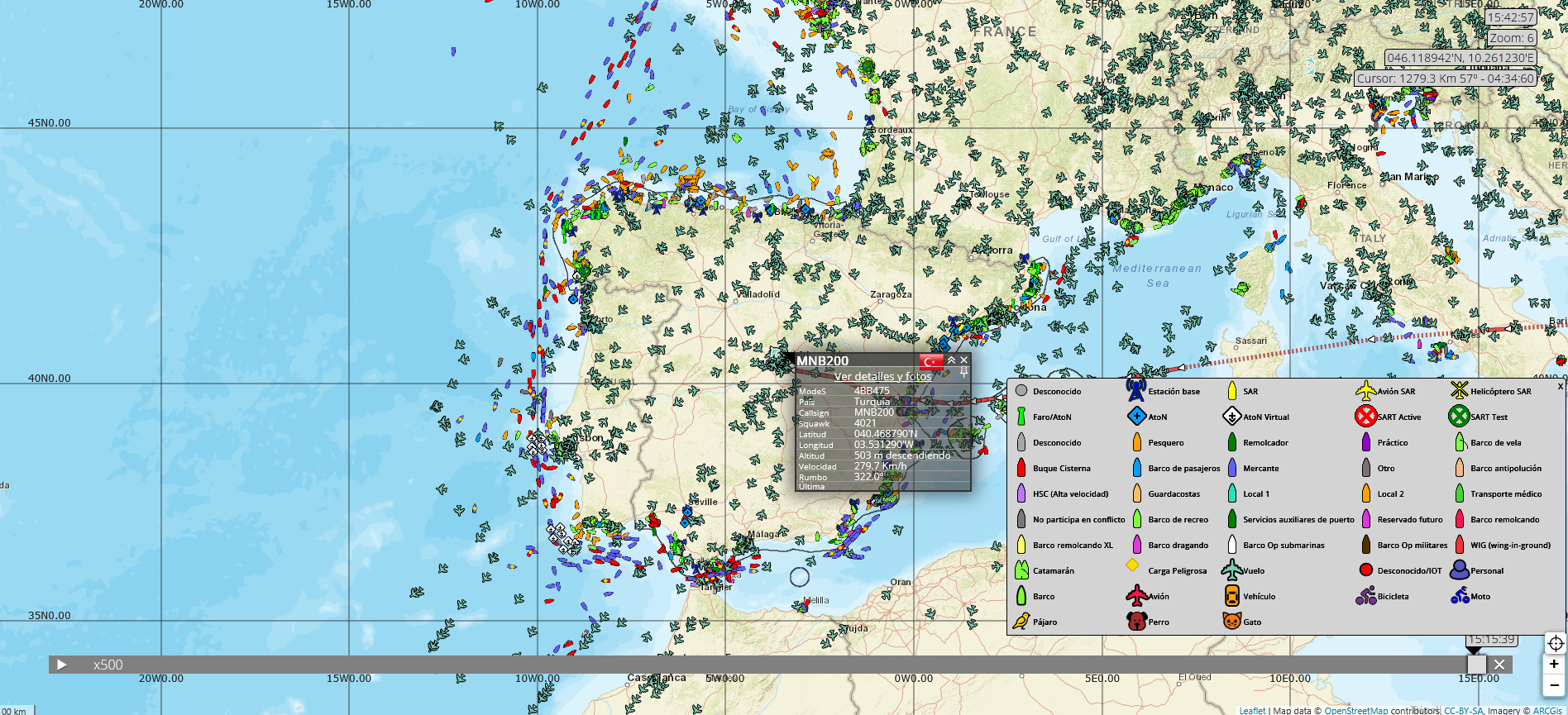
Its tools include a distance and time meter, CPA (closest point of approach) calculation between two elements or in relation to a point, map centring on coordinates and historical data consultation by area/identifier. Each element has a file with the latest data received and a gallery of photos contributed by users.
If you log in to Google, Facebook, Twitter, or Microsoft, you can access extra features, such as managing your own devices connected to the platform or requesting data downloads (KML, CSV, Excel, GeoJSON, or SHP). For advanced uses, there is a Pro version with areas, alarms, filters, and more analysis options.