
Images


Information
Description
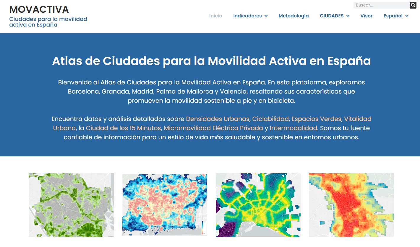
MOVACTIVA is a digital platform developed by the Department of Geography of the Universitat Autònoma de Barcelona, which works as an interactive atlas focused on active mobility, i.e. the transport of people using non-motorised means, such as walking or cycling. The atlas collects information from five Spanish cities: Barcelona, Granada, Madrid, Palma de Mallorca and Valencia.
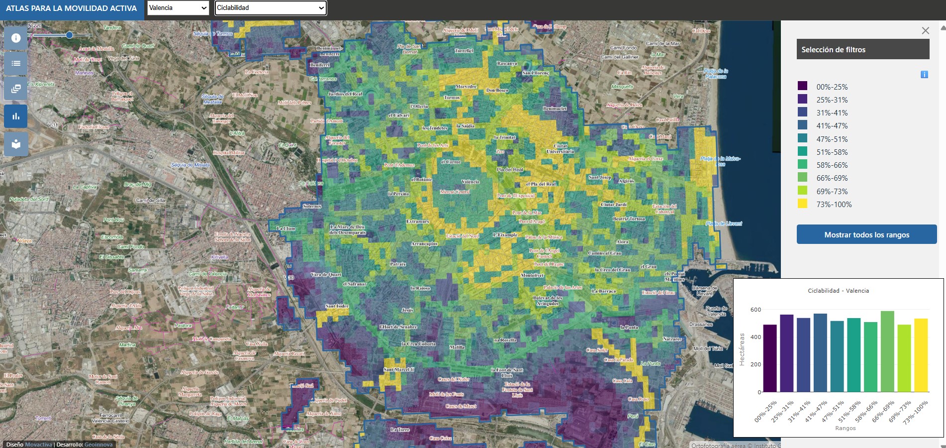
The project maps five urban indicators that are decisive for active mobility, based on 57 georeferenced variables:
The combination of these five elements makes it possible to create an objective and standardised indicator: the Global Active Mobility Indicator.
In addition, the website also offers information on:
- Micromobility, which includes electric, small and light modes of transport (Personal Mobility Vehicles or PMVs), such as electric bicycles and scooters, hoverboards, segways and monowheels.
- Intermodality, which involves the use of two or more modes of transport within the framework of a single trip.
To bring information closer to users, it has an interactive viewer that allows geographic data to be explored visually, facilitating comparison between cities and promoting a healthier and more sustainable urban approach. The indicators are superimposed on open access base maps such as the PNOA orthophotography (from the IGN) and OpenStreetMap.
