
Images

Information
Description
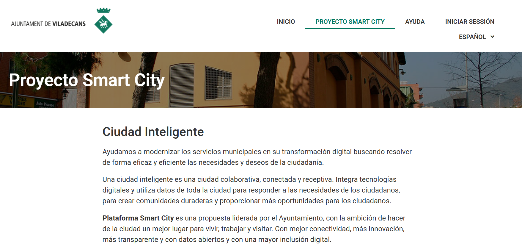
Minerva is Viladecans City Council's smart city platform designed to integrate, unify and exploit urban data in real time, combining information from municipal sensors, corporate databases and external public and private sources. Developed on a cloud architecture under a SaaS model , it allows heterogeneous data to be centralised and transformed into structured, interoperable and accessible information.
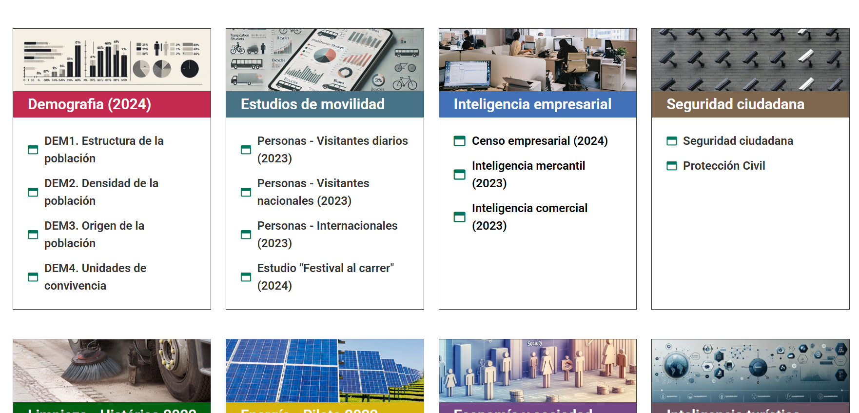
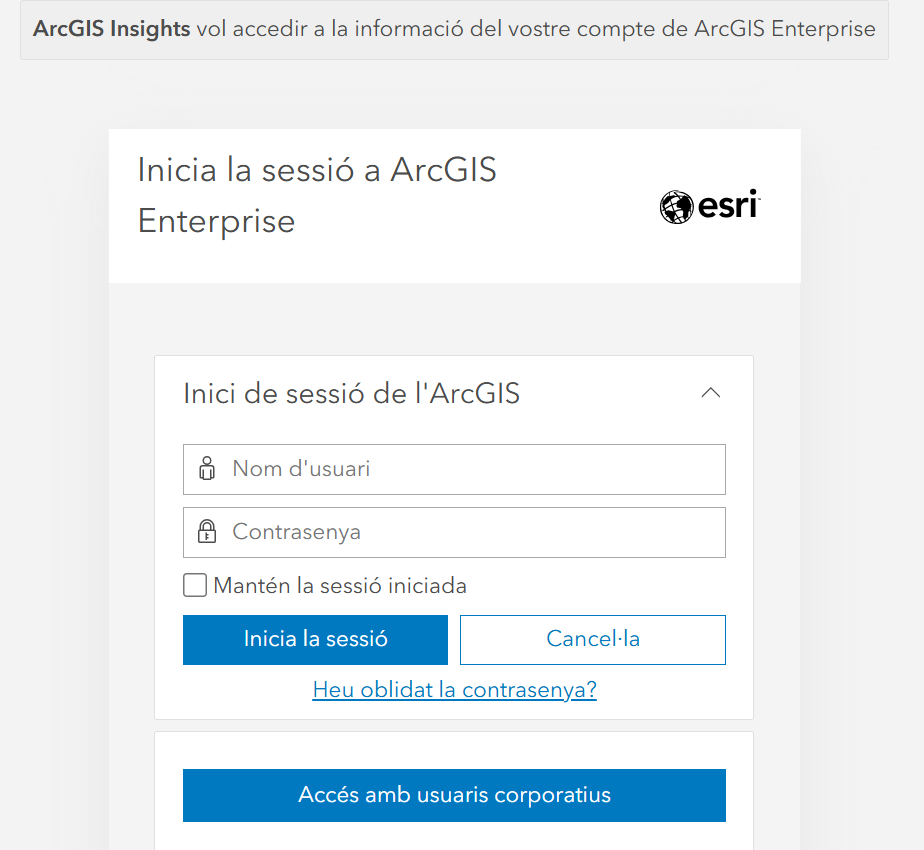
Through interactive panels, dynamic maps and geovisors (based on Esri ArcGIS Enterprise technology), the platform facilitates sectorized visualization by areas such as mobility, air quality, energy efficiency, maintenance of public space or citizen safety.
One of the most relevant aspects is the integration and reuse of open data. Minerva not only consumes public data from other administrations (such as traffic, weather or transport), but also publishes much of the information generated on the Viladecans 360 portal.
In this way, Minerva not only acts as an internal tool for municipal management, but also as an urban data ecosystem that promotes innovation, participation and evidence-based decision-making, strengthening a more efficient, sustainable and open city model.