4 documents found
How to use OGC APIs to enhance geospatial data interoperability
In a world where geospatial information is crucial to address global challenges such as climate change and natural resource management, interoperability and the creation of standards are essential. Interoperability facilitates collaboration between organisations, drives innovation and ensures that…
- Guides

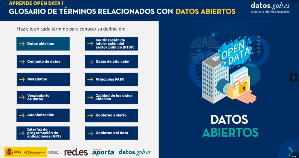
Glossary of data-related terms
The following is a definition of various terms regarding data and related technologies.
1. Glossary of terms related to open data.
(You can download the accessible version here)
2. Glossary of terms related to new technologies and data
(You can download the accessible version…
- Guides
Help videos for data reusers in datos.gob.es
In a platform such as datos.gob.es, where the frequency of dataset updates is constant, it is necessary to have mechanisms that facilitate massive and automatic queries.
In datos.gob.es we have an API and a SPARQL point to facilitate this task. Both tools allow querying the metadata associated with…
- Guides

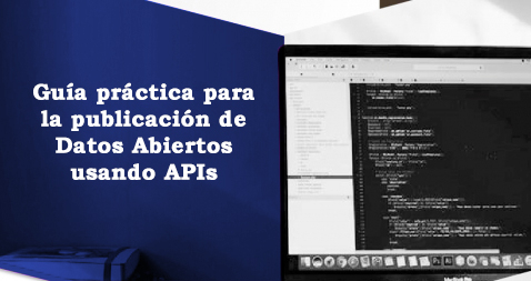
A practical guide to publishing Open Data using APIs
An application programming interface or API is a mechanism that allows communication and information exchange between systems. Open data platforms, such as datos.gob.es, have this type of tool to interact with the information system and consult the data without the need for knowledge of the…
- Guides