9 news found
4 examples of communities related to geographic data and GIS systems
The rise of smart cities, the distribution of resources during pandemics or the fight against natural disasters has awakened interest in geographic data. In the same way that open data in the healthcare field helps to implement social improvements related to the diagnosis of diseases or the reductio…
The new European Open Data Directive affects geographic data
Major changes in the distribution of open geospatial data are coming. According to an article recently published by Frédérique Coumans for GIM International, the geospatial market will take a 360° turn when approximately one and a half years from now the transposition period of the new EU Directive…
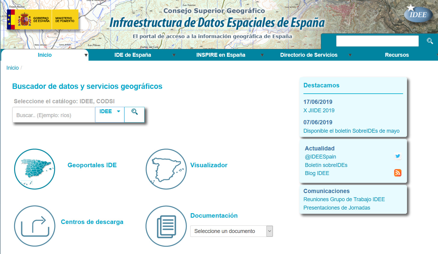
The resources of the Spatial Data Infrastructure of Spain
The Spatial Data Infrastructure of Spain (in Spanish ‘IDEE’) is an ambitious project to harmonize and merge the geographical data handled by all Spanish public administrations, as well as the current geographic information services. The final goal of the project is to make all these valuable data ac…
Aporta Challenge 2019: 3 steps to develop a winning solution
The challenge
Aporta Challenge 2019 is an initiative promoted by datos.gob.es with the aim of identifying new ideas and prototypes based on open data, in order to help improve efficiency in strategic sectors for the Spanish economy, in this case, agri-food, forestry and rural sector. The Aporta Chal…
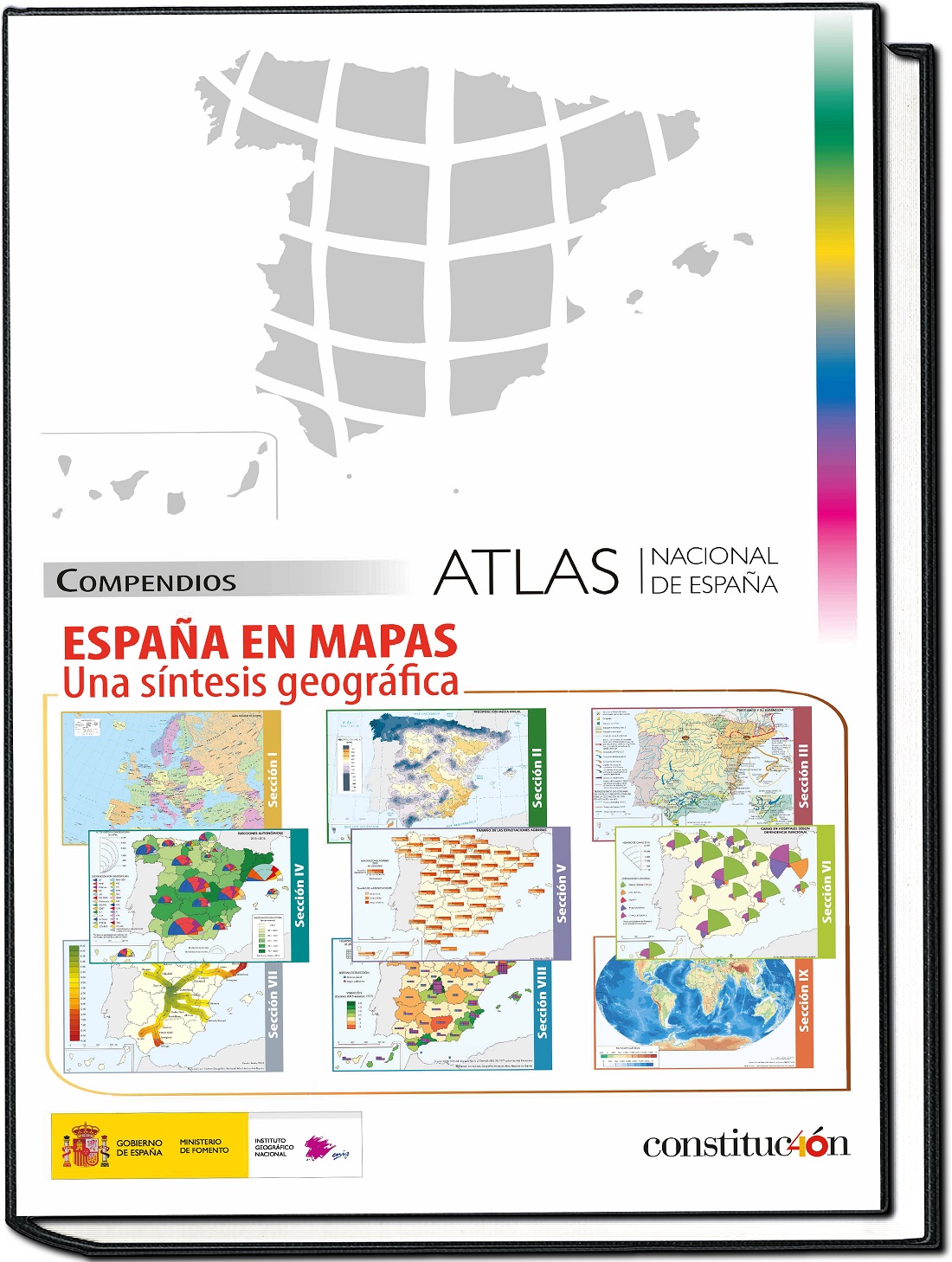
The National Geographic Institute publishes España en mapas, a compilation of more than 800 maps
Geographical data is the second data category most reused and consulted by EU companies, just behind statistical information. This statement, taken from Reusing Open Data, by the European Data Portal, highlights the high importance of geographic information in our society and economy.
In Spain, the…
Challenges and opportunities of open geographic data
Geographical data are highly relevant from the economic point of view. According to Reusing Open Data report, written by the European Data Portal, geographic data is the second most reused and consulted data category by companies in the member states of the European Union, only behind statistical in…
What are open geographic data? UNE 148004: 2018 standard gives you the answer
In recent years, the opening of geographic data has allowed citizens and companies to better understand their environment, through maps and visualizations such as those included in the SignA portal of the National Geographic Institute or the digital Atlas of urban areas of the Ministry of Developmen…
INSPIRE: Infraestructura Europea de Datos Espaciales
El 15 de mayo de 2007 entró en vigor la Directiva de la Comisión Europea «INSPIRE». Fue desarrollada en colaboración con los estados miembros para establecer las reglas generales para el establecimiento de una Infraestructura de Información Espacial en la Comunidad Europea basada en las Infrae…
El Centro Nacional de Información Geográfica federa datos abiertos con datos.gob.es
El Centro Nacional de Información Geográfica, (CNIG), publica datos abiertos geográficos en datos.gob.es a través de una federación establecida entre los catálogos de ambas organizaciones.
El Centro Nacional de Información Geográfica es un organismo autónomo adscrito desde su origen al Institu…


