4 documents found
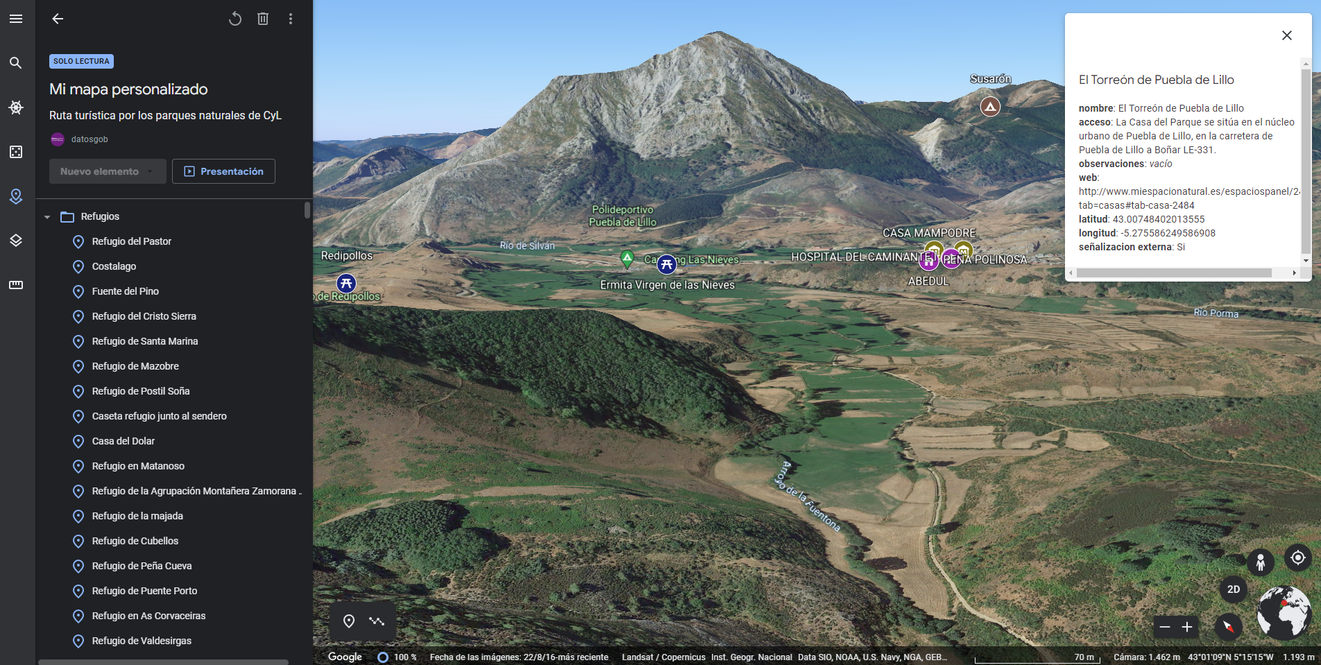
Generating personalized tourist map with "Google My Maps"
1. Introduction
Visualizations are graphical representations of the data allowing to transmit in a simple and effective way related information. The visualization capabilities are extensive, from basic representations, such as a line chart, bars or sectors, to visualizations configured on control…
- Data exercises
Tendencias geoespaciales 2022: Oportunidades para data.europa.eu a partir de las tendencias emergentes en la comunidad geoespacial
Este informe recoge varias temáticas relevantes para la comunidad europea de datos geoespaciales.
Por un lado, el capítulo dedicado a la "modernización INSPIRE y avance hacia los datos abiertos" trata la evaluación realizada por la Comisión Europea de la directiva INSPIRE y cómo ésta debe avanzar…
- Informes y estudios
Copernicus data for the open data community
This report published by the European Data Portal (EDP) aims to help open data users in harnessing the potential of the data generated by the Copernicus program.
The Copernicus project generates high-value satellite data, generating a large amount of Earth observation data, this is in line…
- Reports and studies
Practical guide for the publication of Spatial Data
A spatial data or geographical data is that which has a geographical reference associated with it, either directly, through coordinates, or indirectly, such as a postal code. Thanks to these geographical references it is possible to locate its exact location on a map. The European Union includes…
- Guides


