3 posts found
Building footprints: open data that saves lives in emergencies
In a world increasingly exposed to natural hazards and humanitarian crises, accurate and up-to-date geospatial data can make the difference between effective response and delayed reaction. The building footprints, i.e. the contours of buildings as they appear on the ground, are one of the most valua…
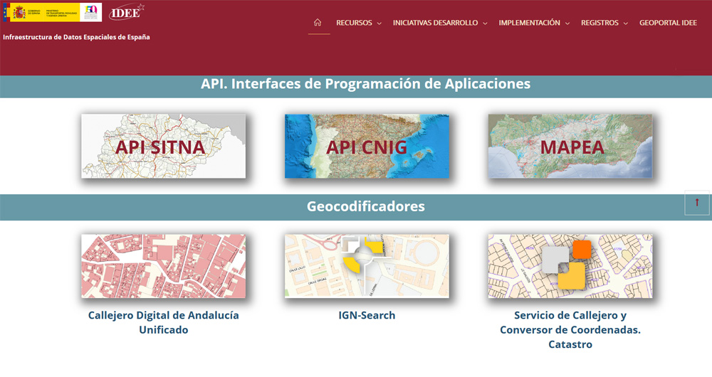
The Spatial Data Infrastructure of Spain (IDEE), a benchmark for geospatial information
Throughout history, geospatial data have allowed humankind to better understand its environment. When we talk about geographic or spatial data, we refer to data "that implicitly or explicitly refer to a location relative to the Earth", according to the Spanish Standard UNE 148004:2018. Generally, th…
The search engine Linknovate and the virtual library Biblioteca Virtual Cervantes, Aporta Awards 2017
The innovative search engine Linknovate and the virtual library Biblioteca Virtual Miguel de Cervantes have been the two winning projects of the first edition of the Aporta Awards 2017. An initiative promoted by the Secretary of State for the Information Society, Red.es and the General Secretariat o…


