Publication date
07/09/2021
Update date
20/06/2024
Description
Throughout history, geospatial data have allowed humankind to better understand its environment. When we talk about geographic or spatial data, we refer to data "that implicitly or explicitly refer to a location relative to the Earth", according to the Spanish Standard UNE 148004:2018. Generally, these data are accessible on maps, visualisers, mobile devices and other media helping us to move and manage the territory in a more efficient way, thus achieving greater progress.
Today, geospatial data remains of particular importance. According to a study by the European Open Data Portal, geospatial data is the second most reused data, behind only statistical data. Both individuals and companies use them to create tools to help citizens in their daily lives - when choosing the most appropriate route to reach a destination -, in management situations - such as fighting a fire - or when they want to disconnect through recreational elements - such as strategy games.
Given this demand, it is not surprising that there is a need for infrastructures that allow us to access this type of information in a harmonised and interoperable way, facilitating its reuse.
What is a Spatial Data Infrastructure (SDI)?
According to the website of the Ministry for Ecological Transition and the Demographic Challenge, a Spatial Data Infrastructure (SDI or IDE in Spanish) "is an information system made up of a set of resources dedicated to managing Geographic Information, available on the Internet, which meet a series of interoperability conditions, and which allow a user, using a simple browser, to use and combine them according to their needs". Through an SDI, geographic information is accessed on the Internet through web services and is catalogued (with metadata) for its location or search, considering regulations, technical documents, international norms and standards that guarantee its interoperability and harmonisation.
It is therefore a mechanism that facilitates the task of searching and accessing geographic data in a uniform manner. This is essential to promote their reuse through the development of digital solutions.
The Spatial Data Infrastructure of Spain (IDEE, in Spanish)
In Spain there are a multitude of geoportals and SDI nodes at state, regional and local level, which are centralised through the geoportal of the Spatial Data Infrastructure of Spain (IDEE). This is a project designed to merge the geographic data with which the Public Administrations of Spain work under the umbrella of the LISIGE and the Regulations of the INSPIRE Directive (Infrastructure for Spatial Information in Europe).
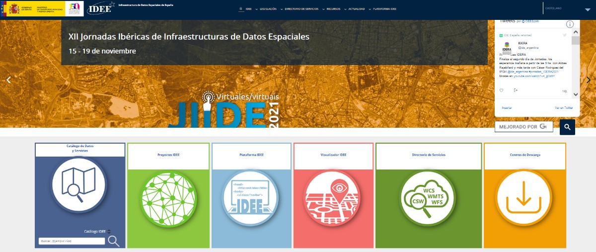
IDEE Geoportal: https://www.idee.es/
The main objective of the IDEE is to publish official geographic information for viewing and downloading and to offer the possibility of locating the data through its descriptions (metadata), so that the data is accessible, machine-readable, easy to locate and reusable. Today, re-use is generally free of charge. To achieve this goal, the NSDI is based on international standards and European regulations that make data interoperable and accessible through open formats.
In charge of coordinating the IDEE is the Consejo Directivo de la Infraestructura de Información Geográfica de España (CODIIGE), created by the Consejo Superior Geográfico, a governing body belonging to the Ministry of Transport, Mobility and Urban Agenda (MITMA). The CODIIGE is made up of representatives of the three levels of the Administration, experts from the Commissions of the High Geographic Council and experts in environmental policies.
The IDEE is part of the European SDI and publishes approximately 250 resources on the European Commission's Geoportal classified by subject.
Who participates in the IDEE?
As mentioned above, the IDEE is made up of the organisations responsible for the data that the European Commission has classified, identified and documented through the INSPIRE Directive Regulation 1089/2010, such as, for example:
- General Directorate of Cadastre, which publishes cadastral plots, buildings and addresses freely and free of charge through viewing and downloading services, allowing this data to be consulted on sites such as the Cadastre's Electronic Headquarters. It is worth highlighting its coordination with the Land Registry. Now any citizen can voluntarily request in a sale or purchase, or at any time, without waiting for the registration of a new act, the incorporation in the Land Registry of a cadastral graphic representation.
- MAPA and MITECO, which work jointly on the publication of data classified as priority data by the European Commission. Its publication is materialised in its IDE geoportal.
- National Centre for Geographic Information (CNIG), responsible for the Cartociudad project, which compiles and publishes freely and free of charge the addresses from the G.D. of Cadastre, the Post Office Group, the National Statistics Institute, the National Geographic Institute, the Autonomous Communities such as the Basque Country, the Community of Navarre, the Community of Valencia, La Rioja, the Balearic Islands and the Community of Madrid, and at a local level, the City Council of Cáceres and the Provincial Council of Madrid.
- Ministry for Ecological Transition and the Demographic Challenge, with its Gas Stations Geoportal application, for searching and visualising service stations, facilitates locating the most economical stations closest to the user through the use of location data.
Other organisations and some of their SDI projects can be consulted on this map.
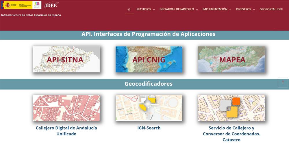
Other services and web resources of the IDEE
Some time ago we wrote an article about the services and resources included in the IDEE Geoportal, and since then, this geoportal has been complemented with the recent publication of the IDEE Platform, whose main objective is to collect, for the developers of the geospatial community, software development initiatives, thus facilitating the reuse of resources.
In the resources section of the geoportal and the IDEE platform, sections continue to be offered that provide added value beyond the datasets themselves; these are resources published by different administrations and international organisations to facilitate decision-making. To the sections analysed in the previous article, we must add as a novelty a section dedicated to Open Resources on COVID-19, whose incorporation is due to the importance that spatial data are having in the management of this health crisis.
The IDEE also has a blog where questions of interest to all users interested in geographic data are collected.
Want to know more about IDEs?
The Ministry of Transport, Mobility and Urban Agenda has recently published a guide on Spatial Data Infrastructures, which covers the basic concepts, the legal framework, the web technologies needed to implement such an infrastructure, web services, information on how to catalogue geographic information (metadata) and other related topics.
In addition, if you are interested in publishing geographic data, we encourage you to read our "Practical Guide to Publishing Spatial Data", where you will find good practices and guidelines to facilitate the publication of spatial data efficiently on the Internet.
Content prepared by the datos.gob.es team.
Comments