5 posts found
Satellite Data Analysis: A Window on the World from Space - Application in Fisheries Monitoring and Management
Satellite data has become a fundamental tool for understanding and monitoring our planet from a unique perspective. This data, collected by satellites in orbit around the Earth, provides a global and detailed view of various terrestrial, maritime and atmospheric phenomena that have applications in m…
The Spatial Data Infrastructure of Spain (IDEE), a benchmark for geospatial information
Throughout history, geospatial data have allowed humankind to better understand its environment. When we talk about geographic or spatial data, we refer to data "that implicitly or explicitly refer to a location relative to the Earth", according to the Spanish Standard UNE 148004:2018. Generally, th…
The search engine Linknovate and the virtual library Biblioteca Virtual Cervantes, Aporta Awards 2017
The innovative search engine Linknovate and the virtual library Biblioteca Virtual Miguel de Cervantes have been the two winning projects of the first edition of the Aporta Awards 2017. An initiative promoted by the Secretary of State for the Information Society, Red.es and the General Secretariat o…
Is innovation in the provision of services and public procurement an opportunity to boost of open data?
The public procurement reform that has taken place in Europe has incorporated innovation as a new public policy that must be promoted through contractual tools. Although innovation can be understood as a concept that is difficult to pinpoint, the Directive 2014/24 / EU has incorporated a legal defin…
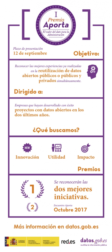
The deadline for submitting innovative projects developed with public data to the Aporta Awards, in the final stretch
On 12 September, the deadline ends for companies and entities that have developed projects with public data to submit their projects in the first Aporta Awards in 2017. These awards are focused on divulging and recognising professionals who have opted for reusing open data and innovation as a drivin…


