3 posts found
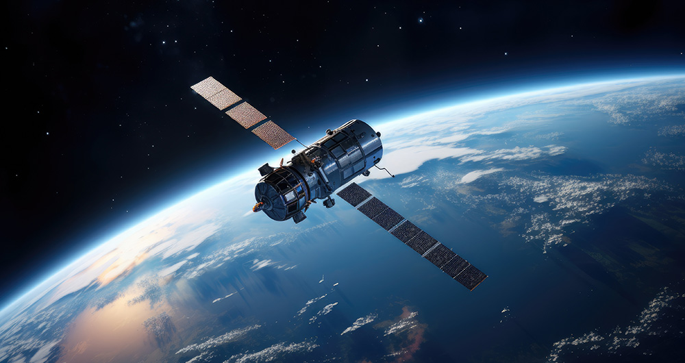
How to ensure the authenticity of satellite imagery
Synthetic images are visual representations artificially generated by algorithms and computational techniques, rather than being captured directly from reality with cameras or sensors. They are produced from different methods, among which the antagonistic generative networks (Generative Adversarial…
Emerging Trends in Geospatial Data and AI
On September 8, the webinar \"Geospatial Trends 2023: Opportunities for data.europa.eu\" was held, organized by the Data Europa Academy and focused on emerging trends in the geospatial field. Specifically, the online conference addressed the concept of GeoAI (Geospatial Artificial Intelligence), whi…
Most popular geospatial visualisation tools
Maps help us to understand the world in which we live and have therefore been fundamental in the development of humanity. They allow us to know the characteristics of a place and to understand social phenomena, such as the spatial behaviour of a disease or the traceability of trade flows.
If we sho…


