Great Map of the Beaches of Spain
Publication date: 03-09-2024
URL to data source catalogue/s: https://bit.ly/4e647nH
Author/Developer: RTVE Data Team (L. Montilla, A. Martín Plaza, C. Pozo, J.M Pina)

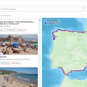
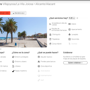
This website offers an interactive map, made with Open Street Map, that collects information on the 3,551 beaches in Spain: their usual occupancy, the services available or even the color of the sand and the environment in which they are located.
On this map, beaches can be filtered according to services, characteristics, natural environment or available activities. In addition, the community can collaborate in the project by sending photographs of the beaches that do not yet have a photo on the web.
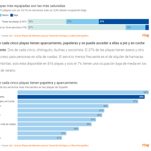
In addition to the map, the RTVE data team has published an article that offers clues about the characteristics of Spanish beaches. For example, the most equipped beaches are the most saturated or only 3% of the beaches allow dogs.
The large map of beaches has been developed from the database of beaches of the Ministry for Ecological Transition and Demographic Challenge available on the open data portal of Esri Spain, a technology company focused on the development of Geographic Information Systems (GIS).


