5 posts found
Open geographic data applications of the National Centre for Geographic Information (NICHD)
The National Centre for Geographic Information publishes open geospatial data from the National Cartographic System, the National Geographic Institute and other organisations through web applications and mobile applications to facilitate access to and consultation of geographic data by citizens.
Geo…

Big Data Test Infrastructure: A free environment for public administrations to experiment with open data
The Big Data Test Infrastructure (BDTI) is a tool funded by the European Digital Agenda, which enables public administrations to perform analysis with open data and open source tools in order to drive innovation.
This free-to-use, cloud-based tool was created in 2019 to accelerate d…

Segment Anything Model: Key Insights from Meta's Segmentation Model Applied to Spatial Data
Image segmentation is a method that divides a digital image into subgroups (segments) to reduce its complexity, thus facilitating its processing or analysis. The purpose of segmentation is to assign labels to pixels to identify objects, people, or other elements in the image.
Image segmentation is c…

European Webinars: Monitoring Climate Change and Digital Development with Open Data
The "Stories of Use Cases" series, organized by the European Open Data portal (data.europe.eu), is a collection of online events focused on the use of open data to contribute to common European Union objectives such as consolidating democracy, boosting the economy, combating climate change, and driv…

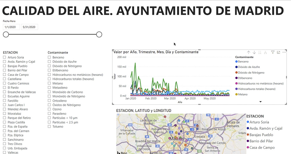
What is an interactive display? Here is an example
The visual representation of data helps our brain to digest large amounts of information quickly and easily. Interactive visualizations make it easier for non-experts to analyze complex situations represented as data.
As we introduced in our last post on this topic, graphical data visualization is a…