3 posts found
How to ensure the authenticity of satellite imagery
Synthetic images are visual representations artificially generated by algorithms and computational techniques, rather than being captured directly from reality with cameras or sensors. They are produced from different methods, among which the antagonistic generative networks (Generative Adversarial…

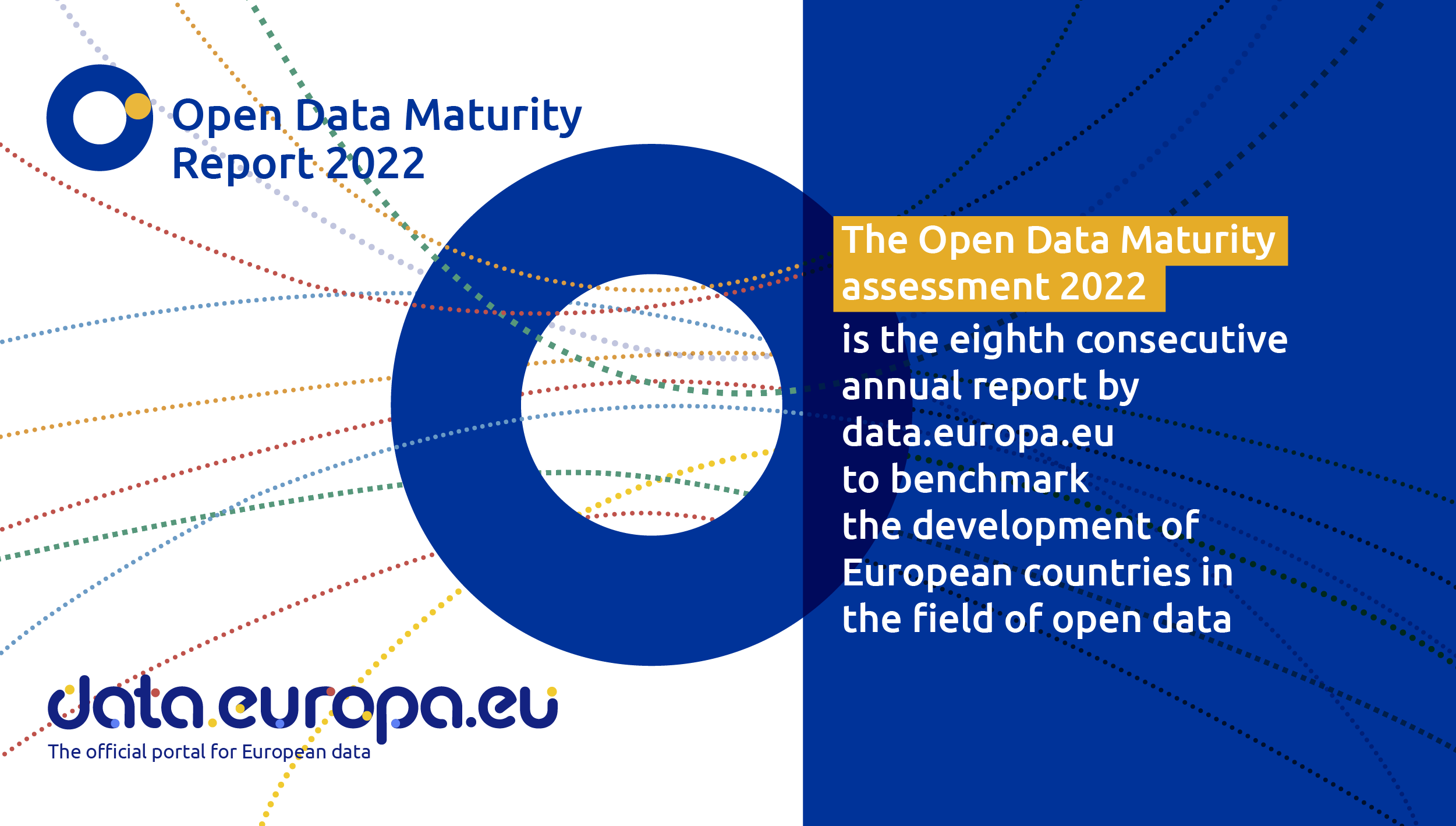
Spain, one of countries that is an open data trendsetter
Like every other year, the EU Open Data Portal has just published the results of its report Open Data Maturity 2022. It is a study that assesses the maturity of European countries in the field of open data and it provides an overview of the good practices followed in Eu…
The Spatial Data Infrastructure of Spain (IDEE), a benchmark for geospatial information
Throughout history, geospatial data have allowed humankind to better understand its environment. When we talk about geographic or spatial data, we refer to data "that implicitly or explicitly refer to a location relative to the Earth", according to the Spanish Standard UNE 148004:2018. Generally, th…
