


Town planning and infrastructures
-
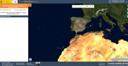
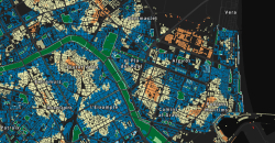 Map of green spaces Valencia
26-03-2025
Map of green spaces Valencia
26-03-2025
This journalistic piece published by À Punt includes a dynamic map elaborated with the geospatial open data offered by Open Street Map that represents the distance in approximate time in which each neighbourhood is located from a green space. In other...
-
 MetroMinuto APP
06-06-2024
MetroMinuto APP
06-06-2024
Metrominuto is an application that provides its users with information on distances and times between the most important points of Pontevedra. It does this through a synoptic map, imitating the design of subway maps, installed in the city signage ...
-
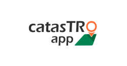 Catrastro App
06-05-2024
Catrastro App
06-05-2024
The application allows citizens to gather information about their properties, as well as to personalize it with the photographs and annotations they need for its correct location on the territory. It also allows them to receive alerts if any cadastral...
-
 Wireless Valencia
09-02-2024
Wireless Valencia
09-02-2024
The application shows all public wireless networks in the city of Valencia and allows its geolocation. It offers a map to identify the location of the network and a free text field to insert any comment. It also has a detailed screen with which the user...
-
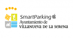 Smartparking Villanueva de la Serena
22-01-2024
Smartparking Villanueva de la Serena
22-01-2024
The application provides users with real-time information on the status of the parking lot: free spaces and occupied spaces. By means of a map of the parking lot, the user can directly visualize the occupancy status of each parking space (free or...
-
 24-11-2023
Contiene las denominaciones georreferenciadas sobre cartografía topográfica a escalas de 1:25.000 y menores, tanto en castellano como en las lenguas cooficiales correspondientes.
-
 24-11-2023
Registro dinámico de información que recoge las denominaciones, oficiales o normalizadas por los correspondientes organismos competentes, y que están referenciadas geográficamente.
-
 24-11-2023
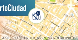
Consulta y visualización de direcciones y códigos postales, topónimos, puntos de interés, entidades de población y unidades administrativa de España.
-
 Barcelona Trees
04-09-2023
Barcelona Trees
04-09-2023
This free software application offers a map with all the trees in the city of Barcelona geolocated by GPS. The user can access in-depth information on the subject. For example, the program identifies the number of trees in each street, their condition...
-
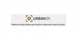 Urban3r
07-03-2023
Urban3r
07-03-2023
Urban3r es una aplicación que permite visualizar diferentes indicadores sobre el estado actual de la edificación, los datos de demanda energética de los edificios residenciales en su estado actual y tras someterlos a una rehabilitación energética, así...


