6 posts found
Altruistic projects to create AI models in co-official languages
Artificial intelligence (AI) assistants are already part of our daily lives: we ask them the time, how to get to a certain place or we ask them to play our favorite song. And although AI, in the future, may offer us infinite functionalities, we must not forget that linguistic diversity is still a pe…
Linguistic corpora: the knowledge engine for AI
The transfer of human knowledge to machine learning models is the basis of all current artificial intelligence. If we want AI models to be able to solve tasks, we first have to encode and transmit solved tasks to them in a formal language that they can process. We understand as a solved task informa…
Big Data Test Infrastructure: A free environment for public administrations to experiment with open data
The Big Data Test Infrastructure (BDTI) is a tool funded by the European Digital Agenda, which enables public administrations to perform analysis with open data and open source tools in order to drive innovation.
This free-to-use, cloud-based tool was created in 2019 to accelerate d…
Segment Anything Model: Key Insights from Meta's Segmentation Model Applied to Spatial Data
Image segmentation is a method that divides a digital image into subgroups (segments) to reduce its complexity, thus facilitating its processing or analysis. The purpose of segmentation is to assign labels to pixels to identify objects, people, or other elements in the image.
Image segmentation is c…
European Webinars: Monitoring Climate Change and Digital Development with Open Data
The "Stories of Use Cases" series, organized by the European Open Data portal (data.europe.eu), is a collection of online events focused on the use of open data to contribute to common European Union objectives such as consolidating democracy, boosting the economy, combating climate change, and driv…
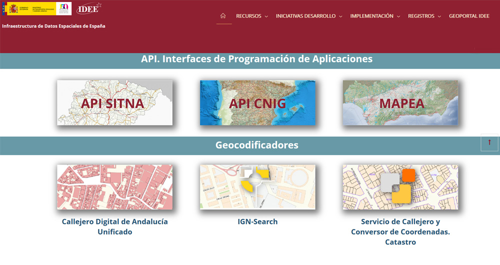
The Spatial Data Infrastructure of Spain (IDEE), a benchmark for geospatial information
Throughout history, geospatial data have allowed humankind to better understand its environment. When we talk about geographic or spatial data, we refer to data "that implicitly or explicitly refer to a location relative to the Earth", according to the Spanish Standard UNE 148004:2018. Generally, th…


