3 posts found
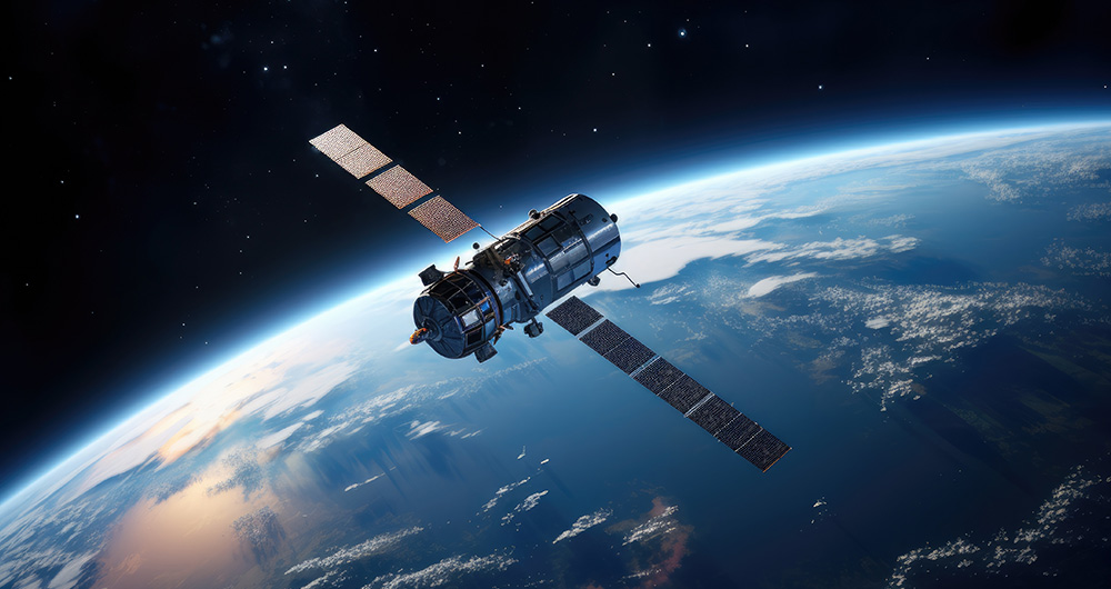
How to ensure the authenticity of satellite imagery
Synthetic images are visual representations artificially generated by algorithms and computational techniques, rather than being captured directly from reality with cameras or sensors. They are produced from different methods, among which the antagonistic generative networks (Generative Adversarial…
Back to School: Readings on Open Data and New Technologies
Summer is coming to an end. August is winding down, and September is on the horizon, bringing with it the return to routine and all that it entails. The start of the school year and the end of vacations can be challenging. However, this time of year, along with January, is a time for fresh beginning…
Copernicus acceleration programs to boost businesses based on Earth observation data
COPERNICUS, the Earth observation program of the European Union, is the world's largest geospatial data provider, with a current production of twelve terabytes a day. The possible uses of this data, many of which are made available to citizens for free, are multiple and can have a place in various e…


