5 posts found
How to ensure the authenticity of satellite imagery
Synthetic images are visual representations artificially generated by algorithms and computational techniques, rather than being captured directly from reality with cameras or sensors. They are produced from different methods, among which the antagonistic generative networks (Generative Adversarial…
Edge computing and its importance in real-time data management
Autonomous vehicles, smart waste management services, trainers that monitor how much we exercise... We live in an increasingly digital and connected environment, with greater similarities to the future we dreamed of as children. It is the so-called Internet of Things (IoT), a network of physical obj…
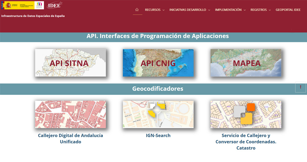
The Spatial Data Infrastructure of Spain (IDEE), a benchmark for geospatial information
Throughout history, geospatial data have allowed humankind to better understand its environment. When we talk about geographic or spatial data, we refer to data "that implicitly or explicitly refer to a location relative to the Earth", according to the Spanish Standard UNE 148004:2018. Generally, th…
The benefits of publishing open mobility data in cities
Mobility is a key economic driver. Increasing the efficiency and quality of a country's mobility system contributes both to the strength of its economy and to improving the quality of life of its citizens. This is particularly important in the mobility systems of cities and their metropolitan areas,…
The transforming power of data in our cities
People, governments, economy, infrastructure, environment ... all these elements come together in our cities and they have to make the most of the constant flow of data on their streets to be more efficient. Analysis of the efficiency of services, monitoring of investment, improvement of public…


