5 posts found
Benefits and opportunities of public initiatives for open data visualisation
Imagine you want to know how many terraces there are in your neighbourhood, how the pollen levels in the air you breathe every day are evolving or whether recycling in your city is working well. All this information exists in your municipality's databases, but it sits in spreadsheets and technical d…
Big Data Test Infrastructure: A free environment for public administrations to experiment with open data
The Big Data Test Infrastructure (BDTI) is a tool funded by the European Digital Agenda, which enables public administrations to perform analysis with open data and open source tools in order to drive innovation.
This free-to-use, cloud-based tool was created in 2019 to accelerate d…
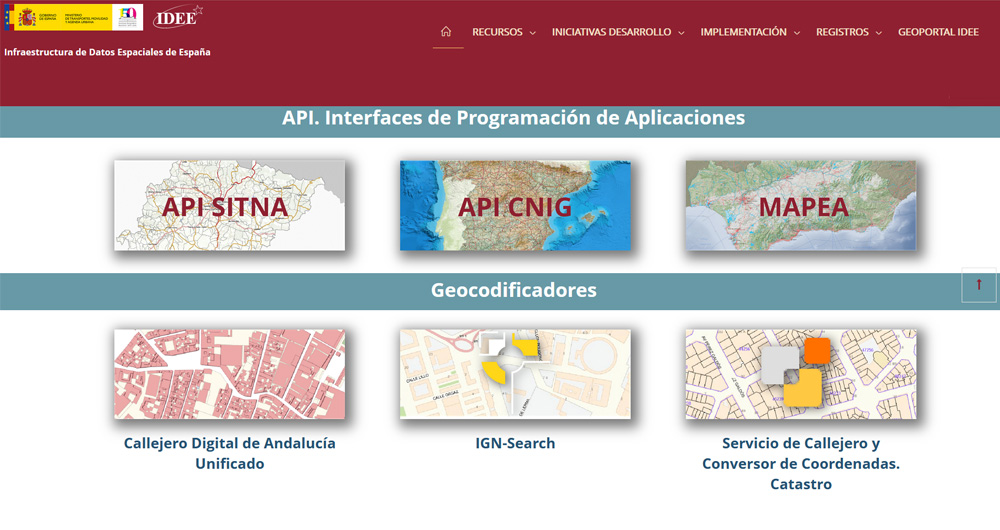
The Spatial Data Infrastructure of Spain (IDEE), a benchmark for geospatial information
Throughout history, geospatial data have allowed humankind to better understand its environment. When we talk about geographic or spatial data, we refer to data "that implicitly or explicitly refer to a location relative to the Earth", according to the Spanish Standard UNE 148004:2018. Generally, th…
Re-use of open data in public administrations
Open data is a source of information for the development of smart services, as well as for decision-making and policy-making. It is therefore not surprising that an increasing number of public bodies, in addition to opening data - for reuse by others and for reasons of accountability and transparenc…
Copernicus acceleration programs to boost businesses based on Earth observation data
COPERNICUS, the Earth observation program of the European Union, is the world's largest geospatial data provider, with a current production of twelve terabytes a day. The possible uses of this data, many of which are made available to citizens for free, are multiple and can have a place in various e…


