13 posts found
Summer Open Data: Featured Apps and Resources
Between ice cream and longer days, summer is here. At this time of year, open information can become our best ally to plan getaways, know schedules of the bathing areas in our community or even know the state of traffic on roads that take us to our next destination.
Whether you're on the move or at…
Open geographic data applications of the National Centre for Geographic Information (NICHD)
The National Centre for Geographic Information publishes open geospatial data from the National Cartographic System, the National Geographic Institute and other organisations through web applications and mobile applications to facilitate access to and consultation of geographic data by citizens.
Geo…
What is the value of open geographic data?
Geographic data allow us to learn about the world around us. From locating optimal travel routes to monitoring natural ecosystems, from urban planning and development to emergency management, geographic data has great potential to drive development and efficiency in multiple economic and social area…
Our first digital navigation. Open source alternatives to Google Maps
In the vast technological landscape, few tools have made as deep a mark as Google Maps. Since its inception, this application has become the standard for finding and navigating points of interest on maps. But what happens when we look for options beyond the ubiquitous map application? In this post w…
Emerging Trends in Geospatial Data and AI
On September 8, the webinar \"Geospatial Trends 2023: Opportunities for data.europa.eu\" was held, organized by the Data Europa Academy and focused on emerging trends in the geospatial field. Specifically, the online conference addressed the concept of GeoAI (Geospatial Artificial Intelligence), whi…
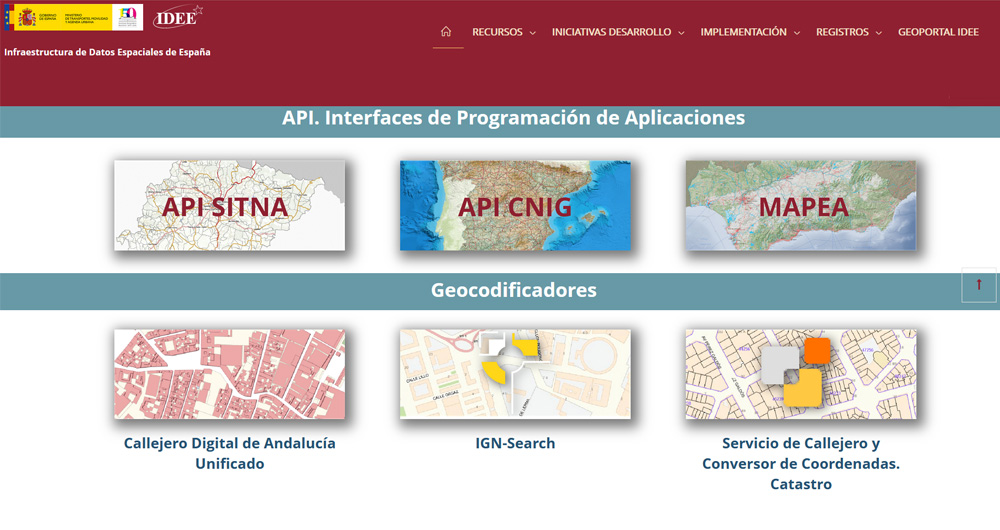
The Spatial Data Infrastructure of Spain (IDEE), a benchmark for geospatial information
Throughout history, geospatial data have allowed humankind to better understand its environment. When we talk about geographic or spatial data, we refer to data "that implicitly or explicitly refer to a location relative to the Earth", according to the Spanish Standard UNE 148004:2018. Generally, th…
The most popular network analysis tools
Two decades ago they did not exist, but in recent years, social networks have become an important part of our lives. 29 million Spaniards actively use these services, according to data compiled by EPData. On average, users spend almost 2 hours a day connected to them.
This data makes social networks…
The most popular data visualization tools
Data is a fundamental pillar in business decision making. Before making any decision, it is necessary to analyze the situation to understand the context and envision possible alternatives. And for this it is necessary to present the data in a clear and understandable way.
Data analysis is useless if…
The most popular data analysis tools
Data analysis is a process that allows us to obtain knowledge of the underlying information of the data, with the purpose of drawing conclusions that allow us to make informed decisions. Without data analytics, companies and organizations are limited in examining their results and determining the di…
The most popular data conversion and data cleaning tools
When carrying out a data analysis project, it is usual to work with different sources, which in many cases include datasets with Heterogeneous formats and structures that do not always share the same quality. Therefore, one of the first phases in any data analysis process is known as data cleaning.…


