6 posts found
Building footprints: open data that saves lives in emergencies
In a world increasingly exposed to natural hazards and humanitarian crises, accurate and up-to-date geospatial data can make the difference between effective response and delayed reaction. The building footprints, i.e. the contours of buildings as they appear on the ground, are one of the most valua…
Open geographic data applications of the National Centre for Geographic Information (NICHD)
The National Centre for Geographic Information publishes open geospatial data from the National Cartographic System, the National Geographic Institute and other organisations through web applications and mobile applications to facilitate access to and consultation of geographic data by citizens.
Geo…
What is the value of open geographic data?
Geographic data allow us to learn about the world around us. From locating optimal travel routes to monitoring natural ecosystems, from urban planning and development to emergency management, geographic data has great potential to drive development and efficiency in multiple economic and social area…
European Legislation Identifier (ELI): an opportunity to boost interoperability and reuse of legal texts
Nowadays we can find a great deal of legislative information on the web. Countries, regions and municipalities make their regulatory and legal texts public through various spaces and official bulletins. The use of this information can be of great use in driving improvements in the sector: from facil…
Improving efficiency in the legal sector: LegalTech and data analytics
Digital transformation affects all sectors, from agriculture to tourism and education. Among its objectives is the optimization of processes, the improvement of the customer experience and even the promotion of new business models.
The legal sector is no exception, which is why in recent years…
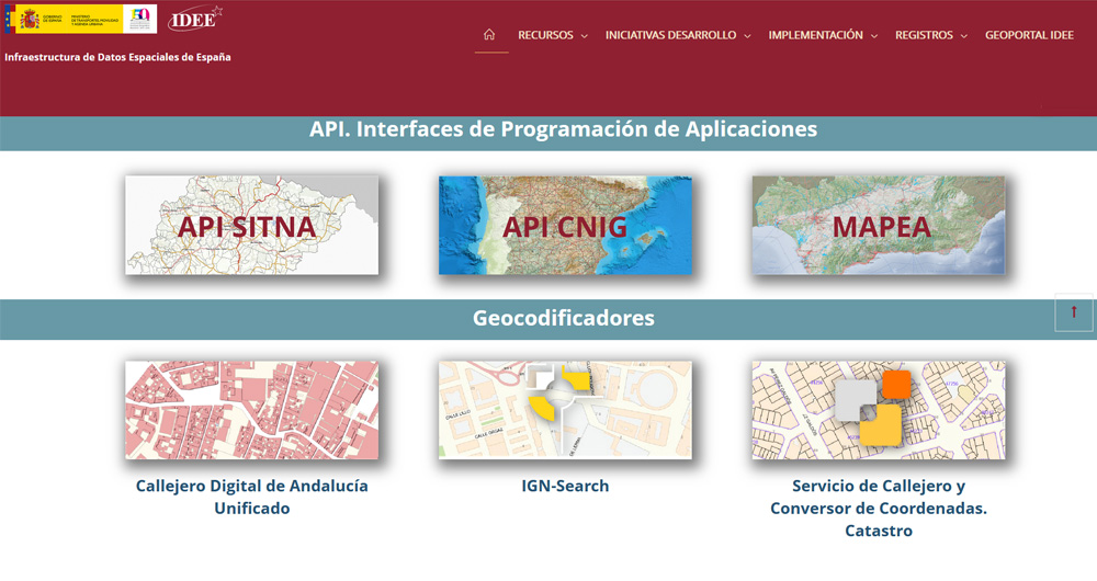
The Spatial Data Infrastructure of Spain (IDEE), a benchmark for geospatial information
Throughout history, geospatial data have allowed humankind to better understand its environment. When we talk about geographic or spatial data, we refer to data "that implicitly or explicitly refer to a location relative to the Earth", according to the Spanish Standard UNE 148004:2018. Generally, th…


