5 posts found
How to ensure the authenticity of satellite imagery
Synthetic images are visual representations artificially generated by algorithms and computational techniques, rather than being captured directly from reality with cameras or sensors. They are produced from different methods, among which the antagonistic generative networks (Generative Adversarial…

How Google, Moovit and Citymapper reuse open mobility data
Many people use apps to get around in their daily lives. Apps such as Google Maps, Moovit or CityMapper provide the fastest and most efficient route to a destination. However, what many users are unaware of is that behind these platforms lies a valuable source of information: open data. By reusing p…

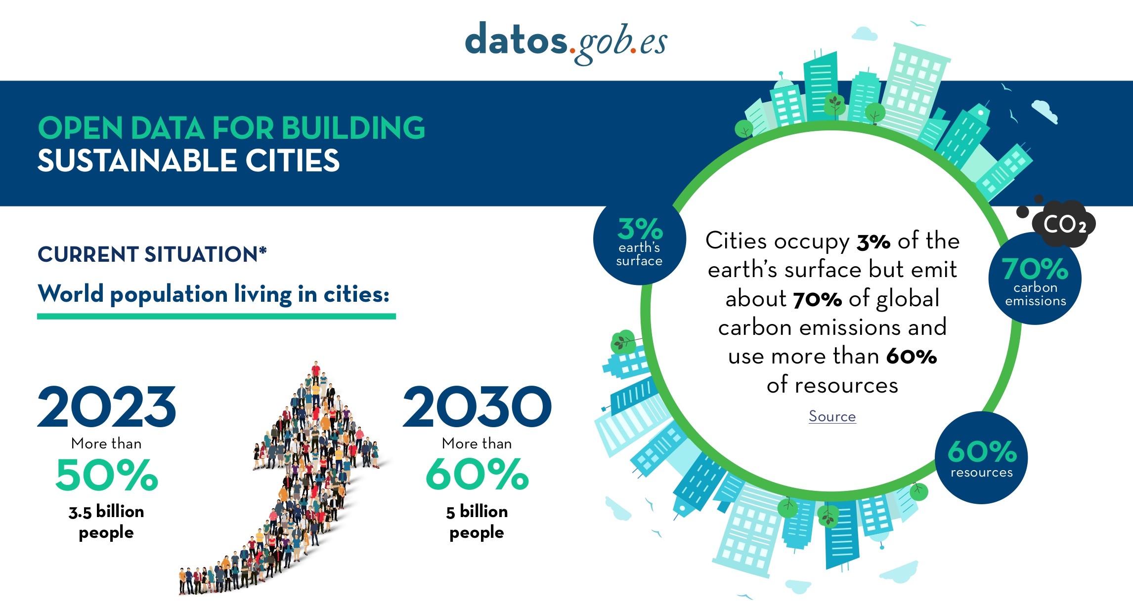
Open Data for Sustainable City Development
Open data is a valuable tool for making informed decisions that encourage the success of a process and enhance its effectiveness. From a sectorial perspective, open data provides relevant information about the legal, educational, or health sectors. All of these, along with many other areas, utilize…
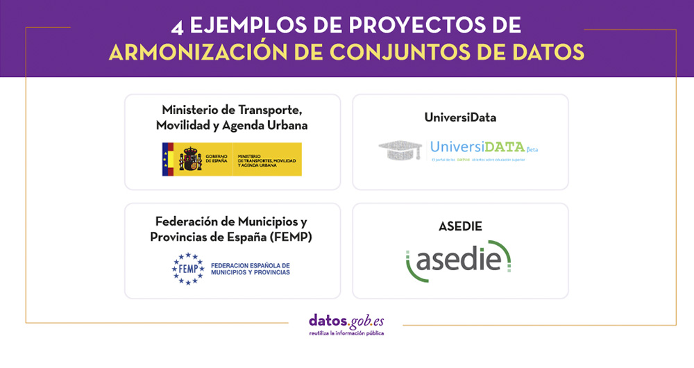
4 examples of harmonisation of datasets
In any project related to data, it is common to have different sources of information. Data is key for companies and public administrations, in decision making or as a basis for the implementation of projects, services or products. But if these data sources display information in a heterogeneous way…
Data vocabularies: why are they important?
Each individual, organization or group uses a number of common words in their daily communication, which would be their personal vocabularies. The greater the number of words we use, the greater our ability to communicate, but it can also be a barrier, increasing the difficulty of understanding othe…
