5 posts found
Open geographic data applications of the National Centre for Geographic Information (NICHD)
The National Centre for Geographic Information publishes open geospatial data from the National Cartographic System, the National Geographic Institute and other organisations through web applications and mobile applications to facilitate access to and consultation of geographic data by citizens.
Geo…

Data visualization: the best charts for representing comparisons
Data is a valuable source of knowledge for society. Public commitment to achieving data openness, public-private collaboration on data, and the development of applications with open data are actions that are part of the data economy, which seeks the innovative, ethical, and practical use of data to…
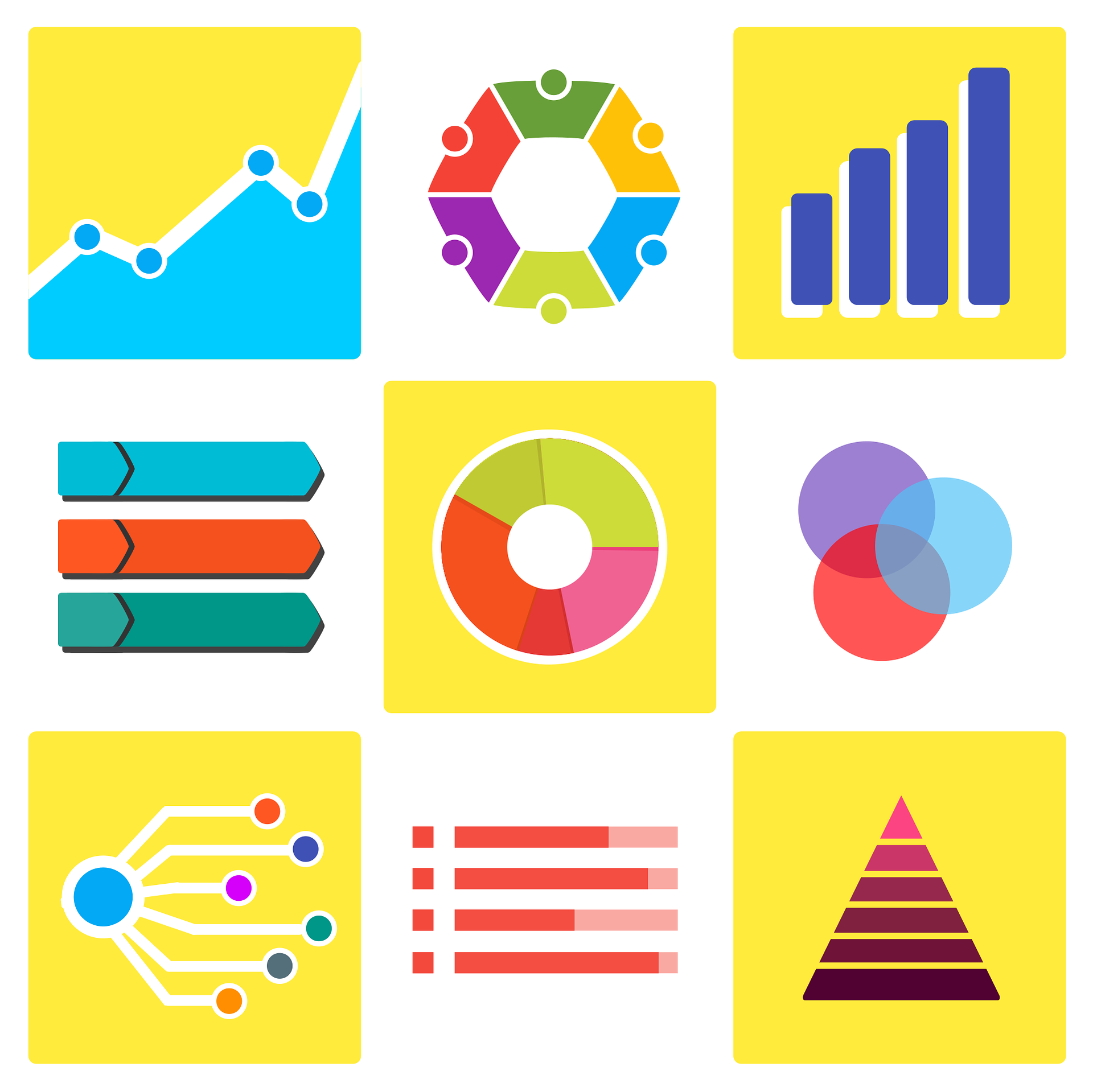
How to choose the right chart to visualise open data
A statistical graph is a visual representation designed to contain a series of data whose objective is to highlight a specific part of the reality. However, organising a set of data in an informative way is not an easy task, especially, if we want to capture the viewer’s attention and to present the…

Hercules-ASIO Initiative. Integration, publication and consultation of linked open research data.
The Hercules initiative was launched in November 2017, through an agreement between the University of Murcia and the Ministry of Economy, Industry and Competitiveness, with the aim of developing a Research Management System (RMS) based on semantic open data that offers a global view of the research…
Data vocabularies: why are they important?
Each individual, organization or group uses a number of common words in their daily communication, which would be their personal vocabularies. The greater the number of words we use, the greater our ability to communicate, but it can also be a barrier, increasing the difficulty of understanding othe…
