17 posts found
Urban Heat Islands: How Geospatial Open Data Can Make Our Cities More Resilient
Cities account for more than two-thirds of Europe's population and consume around 80% of energy. In this context, climate change is having a particularly severe impact on urban environments, not only because of their density, but also because of their construction characteristics, their energy metab…

Geospatial intelligence and satellite data in defence: the strategic role of open data in Spain
In an increasingly interconnected and complex world, geospatial intelligence (GEOINT) has become an essential tool for defence and security decision-making . The ability to collect, analyse and interpret geospatial data enables armed forces and security agencies to better understand the operational…

Satellite Data Analysis: A Window on the World from Space - Application in Fisheries Monitoring and Management
Satellite data has become a fundamental tool for understanding and monitoring our planet from a unique perspective. This data, collected by satellites in orbit around the Earth, provides a global and detailed view of various terrestrial, maritime and atmospheric phenomena that have applications in m…

Building footprints: open data that saves lives in emergencies
In a world increasingly exposed to natural hazards and humanitarian crises, accurate and up-to-date geospatial data can make the difference between effective response and delayed reaction. The building footprints, i.e. the contours of buildings as they appear on the ground, are one of the most valua…

How Copernicus geospatial data drives innovation in the energy sector
Geospatial data has driven improvements in a number of sectors, and energy is no exception. This data allows us to better understand our environment in order to promote sustainability, innovation and informed decision-making.
One of the main providers of open geospatial data is Copernicus, the Europ…

Exploring space from the ground: open satellite data in Europe and its applications
The value of open satellite data in Europe
Satellites have become essential tools for understanding the planet and managing resources efficiently. The European Union (EU) has developed an advanced space infrastructure with the aim of providing real-time data on the environment, navigation and meteor…

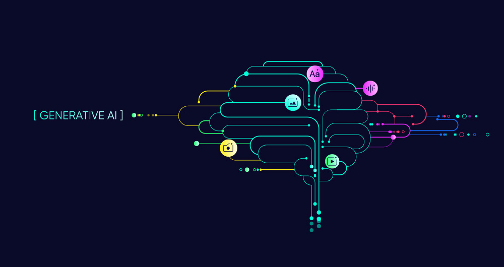
SLM, LLM, RAG and Fine-tuning: Pillars of Modern Generative AI
In the fast-paced world of Generative Artificial Intelligence (AI), there are several concepts that have become fundamental to understanding and harnessing the potential of this technology. Today we focus on four: Small Language Models(SLM), Large Language Models(LLM), Retrieval Augmented Generation…
GRAPH QL. Your best ally for the creation of data products.
The era of digitalisation in which we find ourselves has filled our daily lives with data products or data-driven products. In this post we discover what they are and show you one of the key data technologies to design and build this kind of products: GraphQL.
Introduction
Let's start at the beginni…

UNE specifications as a complement to ISO standards for the governance, management and quality of Information Systems and Technologies
Standardisation is essential to improve efficiency and interoperability in governance and data management. The adoption of standards provides a common framework for organising, exchanging and interpreting data, facilitating collaboration and ensuring data consistency and quality. The ISO standards,…

RAG - Retrieval Augmented Generation: The key that unlocks the door to precision language models
Teaching computers to understand how humans speak and write is a long-standing challenge in the field of artificial intelligence, known as natural language processing (NLP). However, in the last two years or so, we have seen the fall of this old stronghold with the advent of large language models (L…