14 posts found
Satellite Data Analysis: A Window on the World from Space - Application in Fisheries Monitoring and Management
Satellite data has become a fundamental tool for understanding and monitoring our planet from a unique perspective. This data, collected by satellites in orbit around the Earth, provides a global and detailed view of various terrestrial, maritime and atmospheric phenomena that have applications in m…

New geospatial data capture techniques: innovations for more efficient data governance
Geospatial data capture is essential for understanding our environment, making informed decisions and designing effective policies in areas such as urban planning, natural resource management or emergency response. In the past, this process was mainly manual and labour-intensive, based on ground mea…

Citizen science projects that encourage public knowledge
Citizen science is consolidating itself as one of the most relevant sources of most relevant sources of reference in contemporary research contemporary research. This is recognised by the Centro Superior de Investigaciones Científicas (CSIC), which defines citizen science as a methodology and a mean…

Open geographic data applications of the National Centre for Geographic Information (NICHD)
The National Centre for Geographic Information publishes open geospatial data from the National Cartographic System, the National Geographic Institute and other organisations through web applications and mobile applications to facilitate access to and consultation of geographic data by citizens.
Geo…

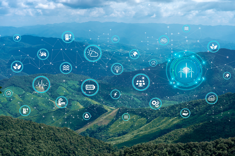
Open data to drive energy efficiency and sustainability
The promotion of energy efficiency and sustainability is one of the priorities of the European Union and Spain, as reflected in the European Green Pact. The availability of open data related to energy production, distribution and consumption allows governments, businesses and citizens to access…

What is the value of open geographic data?
Geographic data allow us to learn about the world around us. From locating optimal travel routes to monitoring natural ecosystems, from urban planning and development to emergency management, geographic data has great potential to drive development and efficiency in multiple economic and social area…

Aplicación de la Especificación UNE 0079:2023 de gestión de calidad a los datos abiertos
Continuamos en esta segunda entrega de la serie de artículos con la aplicación de las especificaciones UNE. Antes de nada, recordemos que las Especificaciones UNE 0077, UNE 0078 y UNE 0079 introducen las buenas prácticas en el gobierno del dato, gestión del dato y gestión de calidad del dato con una…
Aplicación de las Especificación UNE 0078: 2023 a los datos abiertos
Este artículo constituye la tercera y última entrega de la serie de artículos dedicados dedicado a la aplicación de las especificaciones UNE de Gobierno, Gestión y Gestión de la calidad del dato a la publicación de datos abiertos. Recordemos que lo estamos realizando, aplicándolo al caso ficticio de…

Open data and climate change: essential information for a sustainable future
In recent years, climate change has become one of the most pressing challenges of our time because, according to the main reports of different international institutions, it is accelerating beyond the most pessimistic forecasts. Rising global temperatures, melting glaciers, rising sea levels and the…
The second edition of Asedie's top 3, available in seven autonomous communities
The Multisectorial Association of Information (ASEDIE), which brings together the infomediary companies of our country, once again includes among its annual objectives the promotion of the reuse of public and private information. Thus, and almost in parallel to the beginning of the new year, last De…
