5 posts found
Building footprints: open data that saves lives in emergencies
In a world increasingly exposed to natural hazards and humanitarian crises, accurate and up-to-date geospatial data can make the difference between effective response and delayed reaction. The building footprints, i.e. the contours of buildings as they appear on the ground, are one of the most valua…

GeoParquet 1.0.0: new format for more efficient access to spatial data
Cloud data storage is currently one of the fastest growing segments of enterprise software, which is facilitating the incorporation of a large number of new users into the field of analytics.
As we introduced in a previous post, a new format, Parquet, has among its…

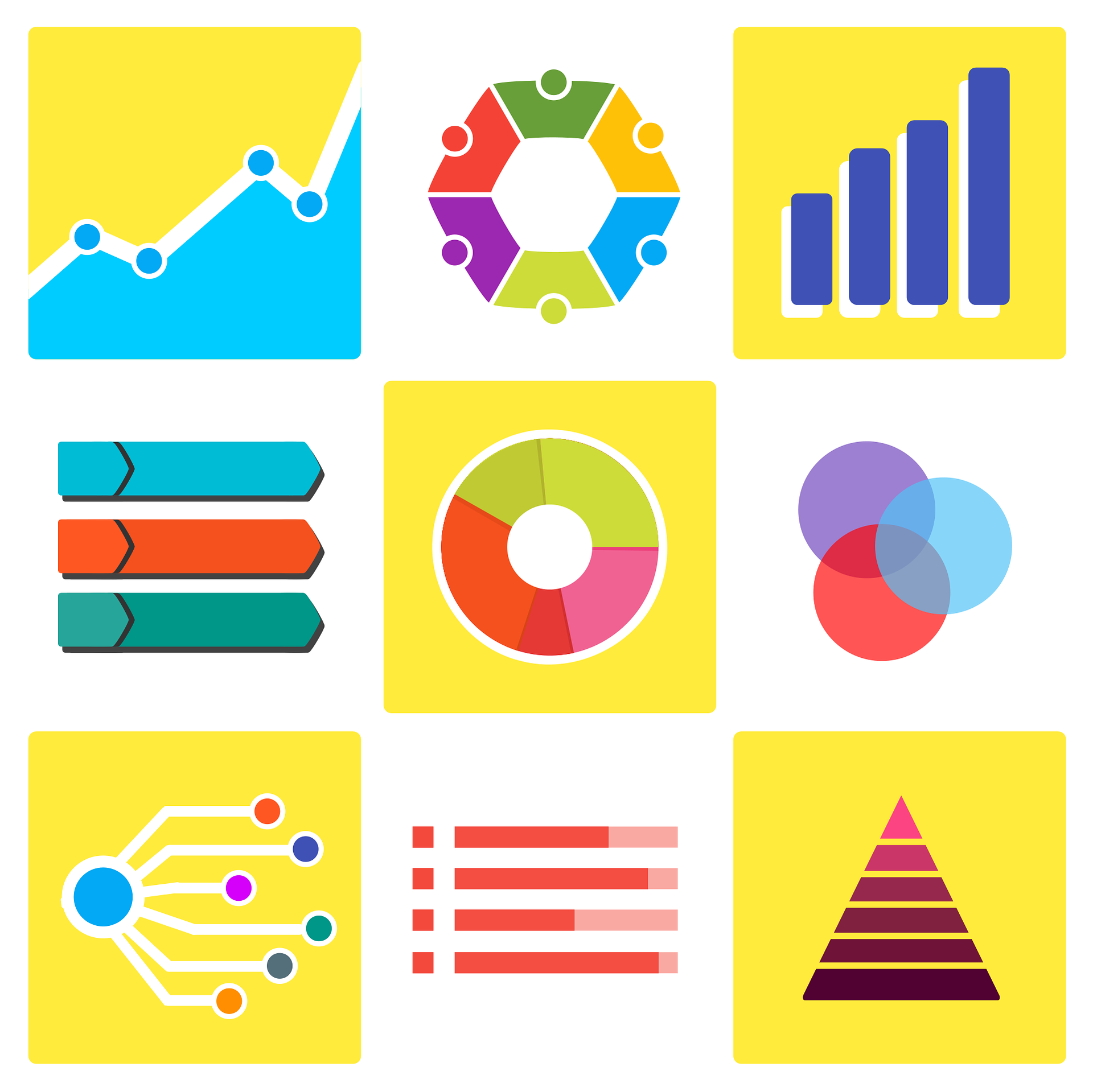
Data visualization: the best charts for representing comparisons
Data is a valuable source of knowledge for society. Public commitment to achieving data openness, public-private collaboration on data, and the development of applications with open data are actions that are part of the data economy, which seeks the innovative, ethical, and practical use of data to…
How to choose the right chart to visualise open data
A statistical graph is a visual representation designed to contain a series of data whose objective is to highlight a specific part of the reality. However, organising a set of data in an informative way is not an easy task, especially, if we want to capture the viewer’s attention and to present the…

Why should you use Parquet files if you process a lot of data?
It's been a long time since we first heard about the Apache Hadoop ecosystem for distributed data processing. Things have changed a lot since then, and we now use higher-level tools to build solutions based on big data payloads. However, it is important to highlight some best practices related to ou…