15 posts found
Urban Heat Islands: How Geospatial Open Data Can Make Our Cities More Resilient
Cities account for more than two-thirds of Europe's population and consume around 80% of energy. In this context, climate change is having a particularly severe impact on urban environments, not only because of their density, but also because of their construction characteristics, their energy metab…

Geospatial intelligence and satellite data in defence: the strategic role of open data in Spain
In an increasingly interconnected and complex world, geospatial intelligence (GEOINT) has become an essential tool for defence and security decision-making . The ability to collect, analyse and interpret geospatial data enables armed forces and security agencies to better understand the operational…

Satellite Data Analysis: A Window on the World from Space - Application in Fisheries Monitoring and Management
Satellite data has become a fundamental tool for understanding and monitoring our planet from a unique perspective. This data, collected by satellites in orbit around the Earth, provides a global and detailed view of various terrestrial, maritime and atmospheric phenomena that have applications in m…

Building footprints: open data that saves lives in emergencies
In a world increasingly exposed to natural hazards and humanitarian crises, accurate and up-to-date geospatial data can make the difference between effective response and delayed reaction. The building footprints, i.e. the contours of buildings as they appear on the ground, are one of the most valua…

How Copernicus geospatial data drives innovation in the energy sector
Geospatial data has driven improvements in a number of sectors, and energy is no exception. This data allows us to better understand our environment in order to promote sustainability, innovation and informed decision-making.
One of the main providers of open geospatial data is Copernicus, the Europ…

Exploring space from the ground: open satellite data in Europe and its applications
The value of open satellite data in Europe
Satellites have become essential tools for understanding the planet and managing resources efficiently. The European Union (EU) has developed an advanced space infrastructure with the aim of providing real-time data on the environment, navigation and meteor…

Open data for a better understanding of the housing situation in Spain
Housing is one of the main concerns of Spanish citizens, according to the January 2025 barometer of the Centro de Investigaciones Sociológicas (CIS). In order to know the real situation of access to housing, it is necessary to have public, updated and quality data, which allows all the actors in thi…

How Artificial Intelligence and Open Data can re-imagine the way we design our cities
After months of new developments, the pace of advances in artificial intelligence does not seem to be slowing down - quite the contrary. A few weeks ago, when reviewing the latest developments in this field on the occasion of the 2023 deadline, video generation from text instructions was consid…

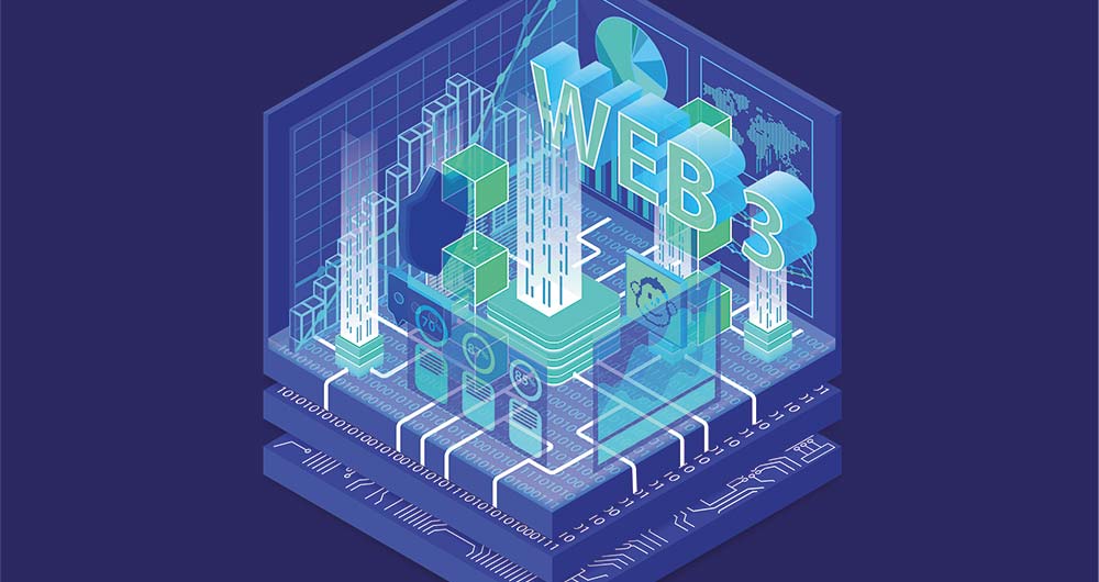
Exploring the role of open data on the web3
While there is still no absolute consensus on the definition of Web3, the applications and concepts associated with the term have been increasingly widely explored in recent years and some of its propositions such as cryptocurrencies have already reached the general public. The term Web3 usually ref…
9 examples of how open data can make it easier to access housing
Did you know that opening information in sectors such as housing can help you find your new home? Moving house is not usually an easy decision and some doubts may arise, such as whether it is more profitable to buy or rent, what services are available in each neighbourhood of the city or what is the…