21 posts found
Satellite Data Analysis: A Window on the World from Space - Application in Fisheries Monitoring and Management
Satellite data has become a fundamental tool for understanding and monitoring our planet from a unique perspective. This data, collected by satellites in orbit around the Earth, provides a global and detailed view of various terrestrial, maritime and atmospheric phenomena that have applications in m…

New geospatial data capture techniques: innovations for more efficient data governance
Geospatial data capture is essential for understanding our environment, making informed decisions and designing effective policies in areas such as urban planning, natural resource management or emergency response. In the past, this process was mainly manual and labour-intensive, based on ground mea…

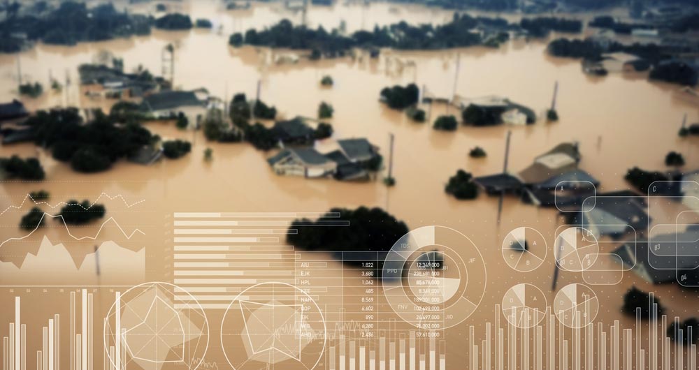
Destination Earth: a digital Earth twin for a sustainable future
Today's climate crisis and environmental challenges demand innovative and effective responses. In this context, the European Commission's Destination Earth (DestinE) initiative is a pioneering project that aims to develop a highly accurate digital model of our planet.
Through this digital twin…

Citizen science projects that encourage public knowledge
Citizen science is consolidating itself as one of the most relevant sources of most relevant sources of reference in contemporary research contemporary research. This is recognised by the Centro Superior de Investigaciones Científicas (CSIC), which defines citizen science as a methodology and a mean…

The impact of open data along its value chain: Indicators and future directions
The transformative potential of open data initiatives is now widely recognised as they offer opportunities for fostering innovation, greater transparency and improved efficiency in many processes. However, reliable measurement of the real impact of these initiatives is difficult to obtain.
From this…

Open geographic data applications of the National Centre for Geographic Information (NICHD)
The National Centre for Geographic Information publishes open geospatial data from the National Cartographic System, the National Geographic Institute and other organisations through web applications and mobile applications to facilitate access to and consultation of geographic data by citizens.
Geo…

The obligation to provide data to public bodies in exceptional situations in the Data Regulations (Data Act)
The recent Regulation (EU) 2023/2854 of the European Parliament and of the Council of 13 December 2023 on harmonised rules for fair access to and use of data (Data Act) introduces important new developments in European legislation to facilitate access to data generated by connected products and rela…
Open data to drive energy efficiency and sustainability
The promotion of energy efficiency and sustainability is one of the priorities of the European Union and Spain, as reflected in the European Green Pact. The availability of open data related to energy production, distribution and consumption allows governments, businesses and citizens to access…

User access to data from connected products and related services in the new European Data Regulation ( Data Act)
The adoption of the Regulation (EU) of the European Parliament and of the Council of 13 December 2023 on harmonised rules for fair access to and use of data (Data Law) is an important step forward in the regulation of the European Union to facilitate data accessibility. This is an initiative already…

Open science and information systems for research
The European Open Science Cloud (EOSC) is a European Union initiative that aims to promote open science through the creation of an open, collaborative and sustainabledigital research infrastructure. EOSC's main objective is to provide European researchers with easier access to the data, tools and re…