33 posts found
How Copernicus geospatial data drives innovation in the energy sector
Geospatial data has driven improvements in a number of sectors, and energy is no exception. This data allows us to better understand our environment in order to promote sustainability, innovation and informed decision-making.
One of the main providers of open geospatial data is Copernicus, the Europ…

Explainable artificial intelligence (XAI): how open data can help understand algorithms
The increasing adoption of artificial intelligence (AI) systems in critical areas such as public administration, financial services or healthcare has brought the need for algorithmic transparency to the forefront. The complexity of AI models used to make decisions such as granting credit or making a…

The role of open data in the evolution of SLM and LLM: efficiency vs. power
Language models are at the epicentre of the technological paradigm shift that has been taking place in generative artificial intelligence (AI) over the last two years. From the tools with which we interact in natural language to generate text, images or videos and which we use to create creativ…

Digital twins: advantages and use cases in Spain
A digital twin is a virtual, interactive representation of a real-world object, system or process. We are talking, for example, about a digital replica of a factory, a city or even a human body. These virtual models allow simulating, analysing and predicting the behaviour of the original element, wh…

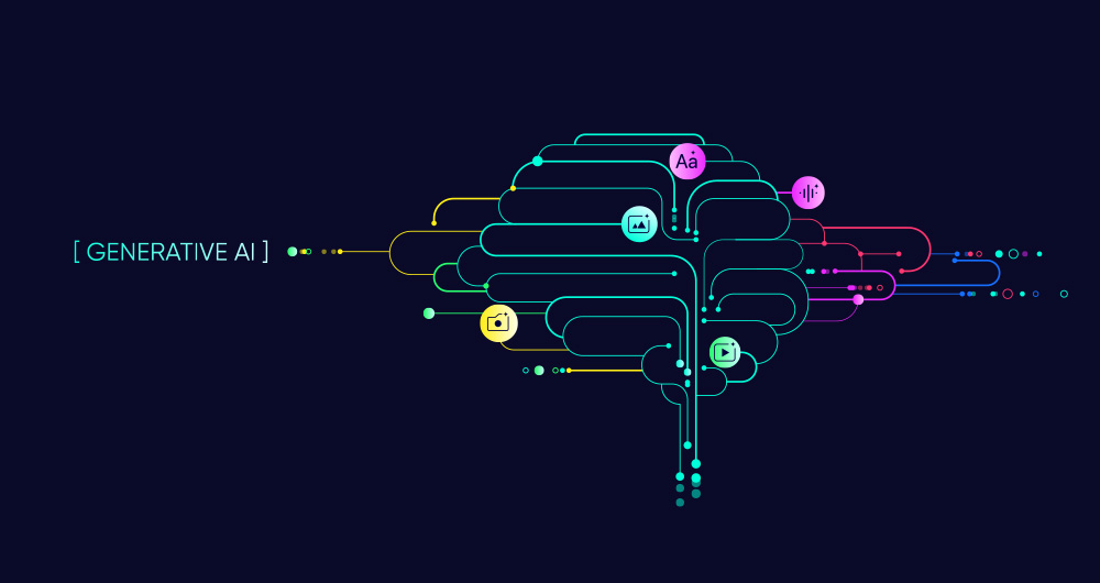
SLM, LLM, RAG and Fine-tuning: Pillars of Modern Generative AI
In the fast-paced world of Generative Artificial Intelligence (AI), there are several concepts that have become fundamental to understanding and harnessing the potential of this technology. Today we focus on four: Small Language Models(SLM), Large Language Models(LLM), Retrieval Augmented Generation…
RAG techniques: how they work and examples of use cases
In recent months we have seen how the large language models (LLMs ) that enable Generative Artificial Intelligence (GenAI) applications have been improving in terms of accuracy and reliability. RAG (Retrieval Augmented Generation) techniques have allowed us to use the full power of n…

Open geographic data applications of the National Centre for Geographic Information (NICHD)
The National Centre for Geographic Information publishes open geospatial data from the National Cartographic System, the National Geographic Institute and other organisations through web applications and mobile applications to facilitate access to and consultation of geographic data by citizens.
Geo…

Open data to drive energy efficiency and sustainability
The promotion of energy efficiency and sustainability is one of the priorities of the European Union and Spain, as reflected in the European Green Pact. The availability of open data related to energy production, distribution and consumption allows governments, businesses and citizens to access…

How to measure carbon footprint using open data
The carbon footprint is a key indicator for understanding the environmental impact of our actions. It measures the amount of greenhouse gas emissions released into the atmosphere as a result of human activities, most notably the burning of fossil fuels such as oil, natural gas and coal. These gases,…

What is the value of open geographic data?
Geographic data allow us to learn about the world around us. From locating optimal travel routes to monitoring natural ecosystems, from urban planning and development to emergency management, geographic data has great potential to drive development and efficiency in multiple economic and social area…
