12 posts found
OGP's assessment and challenges ahead of the forthcoming Global Summit in Spain
The international open government community is preparing for the 9th Global Summit of the Open Government Partnership (OGP), which will take place in Vitoria-Gasteiz next October.. For three days, government representatives, civil society leaders and policy makers from around the world will exchange…
Open data for a better understanding of the housing situation in Spain
Housing is one of the main concerns of Spanish citizens, according to the January 2025 barometer of the Centro de Investigaciones Sociológicas (CIS). In order to know the real situation of access to housing, it is necessary to have public, updated and quality data, which allows all the actors in thi…
Open geographic data applications of the National Centre for Geographic Information (NICHD)
The National Centre for Geographic Information publishes open geospatial data from the National Cartographic System, the National Geographic Institute and other organisations through web applications and mobile applications to facilitate access to and consultation of geographic data by citizens.
Geo…
What is the value of open geographic data?
Geographic data allow us to learn about the world around us. From locating optimal travel routes to monitoring natural ecosystems, from urban planning and development to emergency management, geographic data has great potential to drive development and efficiency in multiple economic and social area…
How Artificial Intelligence and Open Data can re-imagine the way we design our cities
After months of new developments, the pace of advances in artificial intelligence does not seem to be slowing down - quite the contrary. A few weeks ago, when reviewing the latest developments in this field on the occasion of the 2023 deadline, video generation from text instructions was consid…
Our first digital navigation. Open source alternatives to Google Maps
In the vast technological landscape, few tools have made as deep a mark as Google Maps. Since its inception, this application has become the standard for finding and navigating points of interest on maps. But what happens when we look for options beyond the ubiquitous map application? In this post w…
Emerging Trends in Geospatial Data and AI
On September 8, the webinar \"Geospatial Trends 2023: Opportunities for data.europa.eu\" was held, organized by the Data Europa Academy and focused on emerging trends in the geospatial field. Specifically, the online conference addressed the concept of GeoAI (Geospatial Artificial Intelligence), whi…
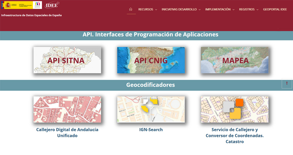
The Spatial Data Infrastructure of Spain (IDEE), a benchmark for geospatial information
Throughout history, geospatial data have allowed humankind to better understand its environment. When we talk about geographic or spatial data, we refer to data "that implicitly or explicitly refer to a location relative to the Earth", according to the Spanish Standard UNE 148004:2018. Generally, th…
9 examples of how open data can make it easier to access housing
Did you know that opening information in sectors such as housing can help you find your new home? Moving house is not usually an easy decision and some doubts may arise, such as whether it is more profitable to buy or rent, what services are available in each neighbourhood of the city or what is the…
Use Cases of Copernicus data in Spain
Copernicus is one of the geospatial data programmes that is most in demand and the focus of attention of various organisations, private companies and citizens. The programme is run jointly by the European Space Agency (ESA) and the European Union through the European Environment Agency, and has two…


