17 posts found
Urban Heat Islands: How Geospatial Open Data Can Make Our Cities More Resilient
Cities account for more than two-thirds of Europe's population and consume around 80% of energy. In this context, climate change is having a particularly severe impact on urban environments, not only because of their density, but also because of their construction characteristics, their energy metab…

Geospatial intelligence and satellite data in defence: the strategic role of open data in Spain
In an increasingly interconnected and complex world, geospatial intelligence (GEOINT) has become an essential tool for defence and security decision-making . The ability to collect, analyse and interpret geospatial data enables armed forces and security agencies to better understand the operational…

Satellite Data Analysis: A Window on the World from Space - Application in Fisheries Monitoring and Management
Satellite data has become a fundamental tool for understanding and monitoring our planet from a unique perspective. This data, collected by satellites in orbit around the Earth, provides a global and detailed view of various terrestrial, maritime and atmospheric phenomena that have applications in m…

Building footprints: open data that saves lives in emergencies
In a world increasingly exposed to natural hazards and humanitarian crises, accurate and up-to-date geospatial data can make the difference between effective response and delayed reaction. The building footprints, i.e. the contours of buildings as they appear on the ground, are one of the most valua…

How Copernicus geospatial data drives innovation in the energy sector
Geospatial data has driven improvements in a number of sectors, and energy is no exception. This data allows us to better understand our environment in order to promote sustainability, innovation and informed decision-making.
One of the main providers of open geospatial data is Copernicus, the Europ…

Exploring space from the ground: open satellite data in Europe and its applications
The value of open satellite data in Europe
Satellites have become essential tools for understanding the planet and managing resources efficiently. The European Union (EU) has developed an advanced space infrastructure with the aim of providing real-time data on the environment, navigation and meteor…

Data policies that foster innovation
The importance of data in today's society and economy is no longer in doubt. Data is now present in virtually every aspect of our lives. This is why more and more countries have been incorporating specific data-related regulations into their policies: whether they relate to personal, busin…

Segment Anything Model: Key Insights from Meta's Segmentation Model Applied to Spatial Data
Image segmentation is a method that divides a digital image into subgroups (segments) to reduce its complexity, thus facilitating its processing or analysis. The purpose of segmentation is to assign labels to pixels to identify objects, people, or other elements in the image.
Image segmentation is c…

Open data as a tool for education and training
The demand for professionals with skills related to data analytics continues to grow and it is already estimated that just the industry in Spain would need more than 90,000 data and artificial intelligence professionals to boost the economy. Training professionals who can fill this gap is a major ch…

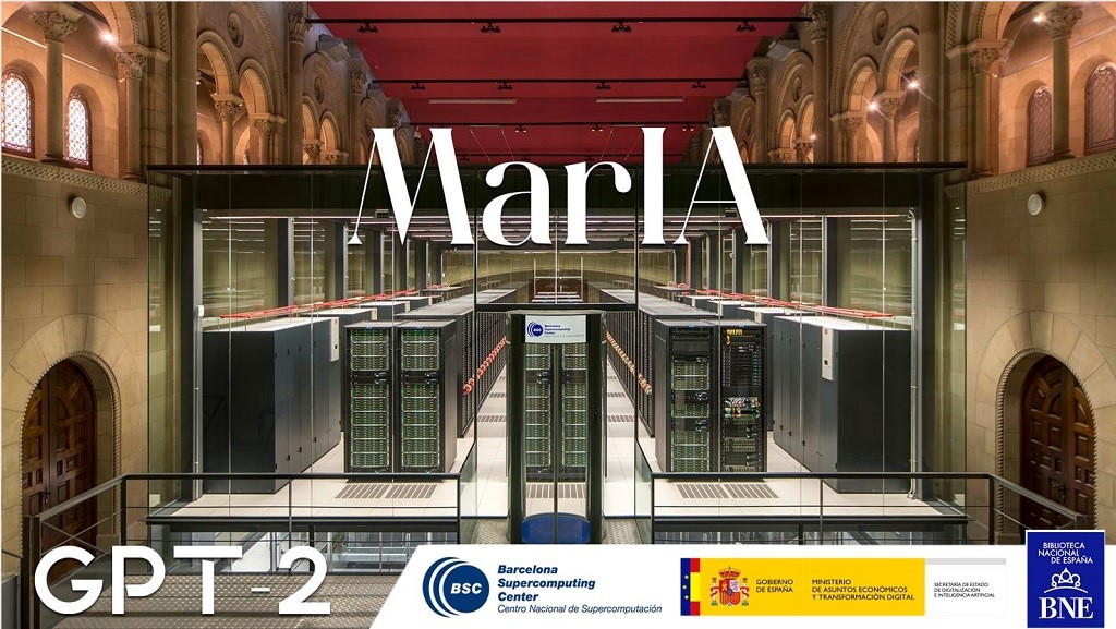
This is MarIA, the first artificial intelligence in the Spanish language
After several months of tests and different types of training, the first massive Artificial Intelligence system in the Spanish language is capable of generating its own texts and summarising existing ones. MarIA is a project that has been promoted by the Secretary of State for Digitalisation and Art…