15 posts found
Open geographic data applications of the National Centre for Geographic Information (NICHD)
The National Centre for Geographic Information publishes open geospatial data from the National Cartographic System, the National Geographic Institute and other organisations through web applications and mobile applications to facilitate access to and consultation of geographic data by citizens.
Geo…

What is the value of open geographic data?
Geographic data allow us to learn about the world around us. From locating optimal travel routes to monitoring natural ecosystems, from urban planning and development to emergency management, geographic data has great potential to drive development and efficiency in multiple economic and social area…

Our first digital navigation. Open source alternatives to Google Maps
In the vast technological landscape, few tools have made as deep a mark as Google Maps. Since its inception, this application has become the standard for finding and navigating points of interest on maps. But what happens when we look for options beyond the ubiquitous map application? In this post w…

Emerging Trends in Geospatial Data and AI
On September 8, the webinar \"Geospatial Trends 2023: Opportunities for data.europa.eu\" was held, organized by the Data Europa Academy and focused on emerging trends in the geospatial field. Specifically, the online conference addressed the concept of GeoAI (Geospatial Artificial Intelligence), whi…

The keys to the UNE data specifications
We live in a constantly evolving environment in which data is growing exponentially and is also a fundamental component of the digital economy. In this context, it is necessary to unlock its potential to maximize its value by creating opportunities for its reuse. However, it is important to bear in…

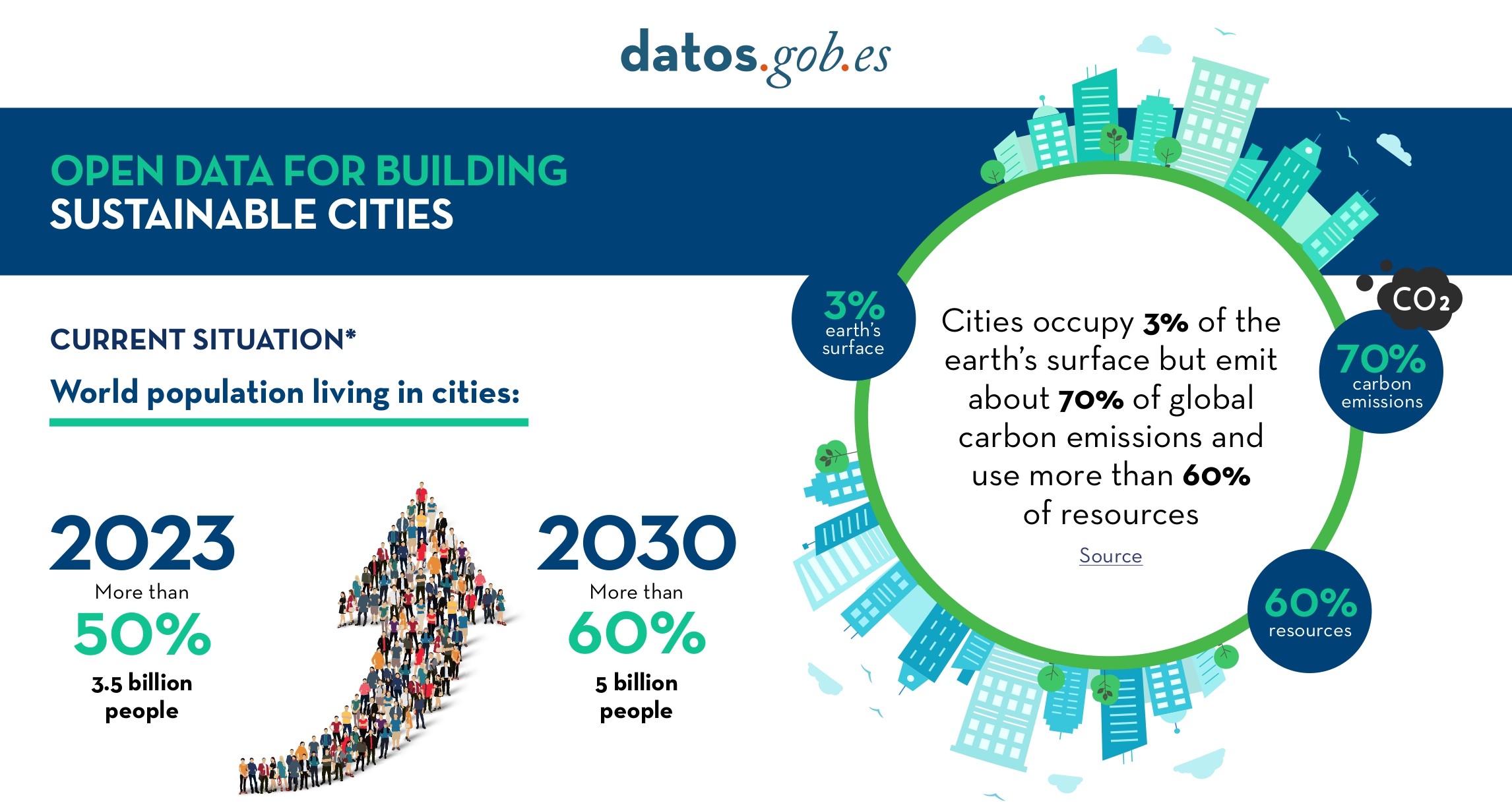
Open Data for Sustainable City Development
Open data is a valuable tool for making informed decisions that encourage the success of a process and enhance its effectiveness. From a sectorial perspective, open data provides relevant information about the legal, educational, or health sectors. All of these, along with many other areas, utilize…
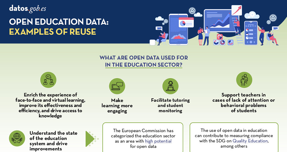
Open data, a key tool for promoting knowledge and education
Open solutions, including Open Educational Resources (OER), Open Access to Scientific Information (OA), Free and Open-Source Software (FOSS), and open data, encourage the free flow of information and knowledge, serving as a foundation for addressing global challenges, as reminded by UNESCO.
The Unit…
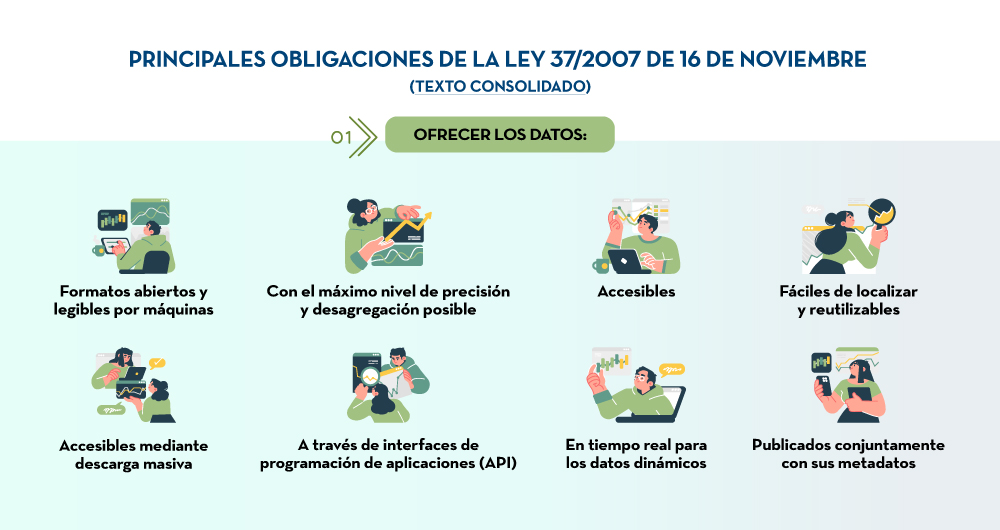
The keys to the Law on re-use of public sector information in Spain
The public sector in Spain will have the duty to guarantee the openness of its data by design and by default, as well as its reuse. This is the result of the amendment of Law 37/2007 on the reuse of public sector information in application of European Directive 2019/1024.
This new wording of the reg…
Exploring the role of open data on the web3
While there is still no absolute consensus on the definition of Web3, the applications and concepts associated with the term have been increasingly widely explored in recent years and some of its propositions such as cryptocurrencies have already reached the general public. The term Web3 usually ref…

The Spatial Data Infrastructure of Spain (IDEE), a benchmark for geospatial information
Throughout history, geospatial data have allowed humankind to better understand its environment. When we talk about geographic or spatial data, we refer to data "that implicitly or explicitly refer to a location relative to the Earth", according to the Spanish Standard UNE 148004:2018. Generally, th…
