9 posts found
Building footprints: open data that saves lives in emergencies
In a world increasingly exposed to natural hazards and humanitarian crises, accurate and up-to-date geospatial data can make the difference between effective response and delayed reaction. The building footprints, i.e. the contours of buildings as they appear on the ground, are one of the most valua…
Open geographic data applications of the National Centre for Geographic Information (NICHD)
The National Centre for Geographic Information publishes open geospatial data from the National Cartographic System, the National Geographic Institute and other organisations through web applications and mobile applications to facilitate access to and consultation of geographic data by citizens.
Geo…
What is the value of open geographic data?
Geographic data allow us to learn about the world around us. From locating optimal travel routes to monitoring natural ecosystems, from urban planning and development to emergency management, geographic data has great potential to drive development and efficiency in multiple economic and social area…
Data and digital transformation in the justice system
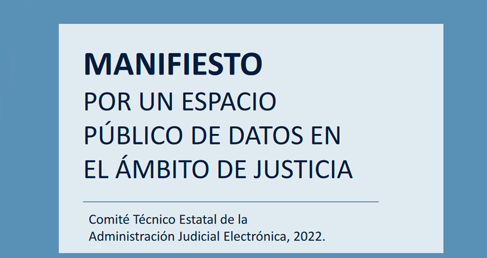
The Manifesto for a public data space has recently been published. The document raises the need to reinforce the importance of data in the current digital transformation process in this area. The document has been drawn up within the State Technical Committee of the Electronic Judicial Administratio…
Improving efficiency in the legal sector: LegalTech and data analytics
Digital transformation affects all sectors, from agriculture to tourism and education. Among its objectives is the optimization of processes, the improvement of the customer experience and even the promotion of new business models.
The legal sector is no exception, which is why in recent years…
Validation of the Royal Decree-Law on reuse of public sector information and open data
Why a Royal Decree-Law?
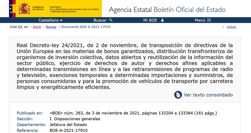
In the plenary session of the Congress of Deputies held on December 2, 2021, Royal Decree-Law 24/2021, of November 2, on the transposition of several European Union directives, including Directive (EU) 2019/1024 of the European Parliament and of the Council, of June 20, 2019,…
The data in the Digital Charter of Rights
Just a few days ago has been officially presented the Digital Charter of Rights. It is an initiative that has had a wide representation of civil society since, on the one hand, a wide and diverse work team has been in charge of its drafting and, on the other, during the procedure of its prepara…
Creative Commons licenses and general conditions for the reuse of public sector information in Spain
In the more traditional conception of the right of access and transparency of public sector entities, obtaining information requires, in advance, the processing of an administrative procedure that ends with the corresponding resolution by which the requested information is granted or denied. However…
Copernicus acceleration programs to boost businesses based on Earth observation data
COPERNICUS, the Earth observation program of the European Union, is the world's largest geospatial data provider, with a current production of twelve terabytes a day. The possible uses of this data, many of which are made available to citizens for free, are multiple and can have a place in various e…


