13 posts found
Building footprints: open data that saves lives in emergencies
In a world increasingly exposed to natural hazards and humanitarian crises, accurate and up-to-date geospatial data can make the difference between effective response and delayed reaction. The building footprints, i.e. the contours of buildings as they appear on the ground, are one of the most valua…

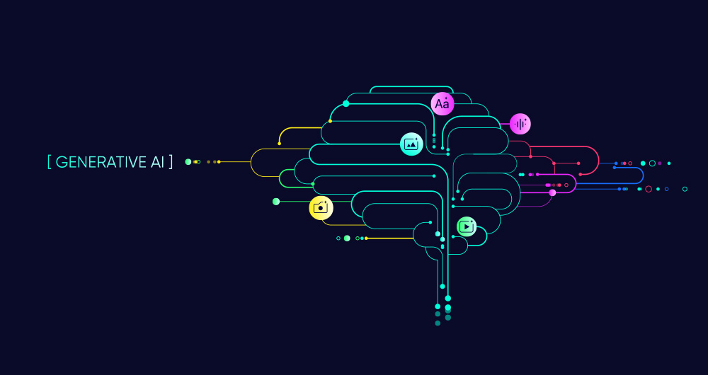
SLM, LLM, RAG and Fine-tuning: Pillars of Modern Generative AI
In the fast-paced world of Generative Artificial Intelligence (AI), there are several concepts that have become fundamental to understanding and harnessing the potential of this technology. Today we focus on four: Small Language Models(SLM), Large Language Models(LLM), Retrieval Augmented Generation…
High-value meteorological datasets
The cross-cutting nature of open data on weather and climate data has favoured its use in areas as diverse as precision agriculture, fire prevention or the precision forestry. But the relevance of these datasets lies not only in their direct applicability across multiple industries, but also in thei…

Complying with Europe. The Mobility High Value Datasets Regulation
Spain, as part of the European Union, is committed to the implementation of the European directives on open data and re-use of public sector information. This includes the adoption of initiatives such as the Implementing Regulation (EU) 2023/138 issued by the European Commission, whic…

Complying with Europe. The High Value Sites of Earth Observation and Environment Regulation
The European Commission Implementing Regulation (EU) 2023/138 sets clear guidelines for public bodies on the availability of high-value datasets within 16 months from 20 January 2023. These high-value high value datasets (High value datasets or HVD) are grouped into the following themes, which were…

Open geographic data applications of the National Centre for Geographic Information (NICHD)
The National Centre for Geographic Information publishes open geospatial data from the National Cartographic System, the National Geographic Institute and other organisations through web applications and mobile applications to facilitate access to and consultation of geographic data by citizens.
Geo…

What is the value of open geographic data?
Geographic data allow us to learn about the world around us. From locating optimal travel routes to monitoring natural ecosystems, from urban planning and development to emergency management, geographic data has great potential to drive development and efficiency in multiple economic and social area…

GRAPH QL. Your best ally for the creation of data products.
The era of digitalisation in which we find ourselves has filled our daily lives with data products or data-driven products. In this post we discover what they are and show you one of the key data technologies to design and build this kind of products: GraphQL.
Introduction
Let's start at the beginni…

UNE specifications as a complement to ISO standards for the governance, management and quality of Information Systems and Technologies
Standardisation is essential to improve efficiency and interoperability in governance and data management. The adoption of standards provides a common framework for organising, exchanging and interpreting data, facilitating collaboration and ensuring data consistency and quality. The ISO standards,…

RAG - Retrieval Augmented Generation: The key that unlocks the door to precision language models
Teaching computers to understand how humans speak and write is a long-standing challenge in the field of artificial intelligence, known as natural language processing (NLP). However, in the last two years or so, we have seen the fall of this old stronghold with the advent of large language models (L…