19 posts found
Satellite Data Analysis: A Window on the World from Space - Application in Fisheries Monitoring and Management
Satellite data has become a fundamental tool for understanding and monitoring our planet from a unique perspective. This data, collected by satellites in orbit around the Earth, provides a global and detailed view of various terrestrial, maritime and atmospheric phenomena that have applications in m…

Open data for a better understanding of the housing situation in Spain
Housing is one of the main concerns of Spanish citizens, according to the January 2025 barometer of the Centro de Investigaciones Sociológicas (CIS). In order to know the real situation of access to housing, it is necessary to have public, updated and quality data, which allows all the actors in thi…

New geospatial data capture techniques: innovations for more efficient data governance
Geospatial data capture is essential for understanding our environment, making informed decisions and designing effective policies in areas such as urban planning, natural resource management or emergency response. In the past, this process was mainly manual and labour-intensive, based on ground mea…

Citizen science projects that encourage public knowledge
Citizen science is consolidating itself as one of the most relevant sources of most relevant sources of reference in contemporary research contemporary research. This is recognised by the Centro Superior de Investigaciones Científicas (CSIC), which defines citizen science as a methodology and a mean…

Open geographic data applications of the National Centre for Geographic Information (NICHD)
The National Centre for Geographic Information publishes open geospatial data from the National Cartographic System, the National Geographic Institute and other organisations through web applications and mobile applications to facilitate access to and consultation of geographic data by citizens.
Geo…

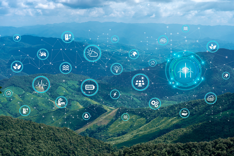
Open data to drive energy efficiency and sustainability
The promotion of energy efficiency and sustainability is one of the priorities of the European Union and Spain, as reflected in the European Green Pact. The availability of open data related to energy production, distribution and consumption allows governments, businesses and citizens to access…

How Artificial Intelligence and Open Data can re-imagine the way we design our cities
After months of new developments, the pace of advances in artificial intelligence does not seem to be slowing down - quite the contrary. A few weeks ago, when reviewing the latest developments in this field on the occasion of the 2023 deadline, video generation from text instructions was consid…

Data policies that foster innovation
The importance of data in today's society and economy is no longer in doubt. Data is now present in virtually every aspect of our lives. This is why more and more countries have been incorporating specific data-related regulations into their policies: whether they relate to personal, busin…

Segment Anything Model: Key Insights from Meta's Segmentation Model Applied to Spatial Data
Image segmentation is a method that divides a digital image into subgroups (segments) to reduce its complexity, thus facilitating its processing or analysis. The purpose of segmentation is to assign labels to pixels to identify objects, people, or other elements in the image.
Image segmentation is c…

Open data and climate change: essential information for a sustainable future
In recent years, climate change has become one of the most pressing challenges of our time because, according to the main reports of different international institutions, it is accelerating beyond the most pessimistic forecasts. Rising global temperatures, melting glaciers, rising sea levels and the…