12 posts found
Open geographic data applications of the National Centre for Geographic Information (NICHD)
The National Centre for Geographic Information publishes open geospatial data from the National Cartographic System, the National Geographic Institute and other organisations through web applications and mobile applications to facilitate access to and consultation of geographic data by citizens.
Geo…

What is the value of open geographic data?
Geographic data allow us to learn about the world around us. From locating optimal travel routes to monitoring natural ecosystems, from urban planning and development to emergency management, geographic data has great potential to drive development and efficiency in multiple economic and social area…

Data policies that foster innovation
The importance of data in today's society and economy is no longer in doubt. Data is now present in virtually every aspect of our lives. This is why more and more countries have been incorporating specific data-related regulations into their policies: whether they relate to personal, busin…

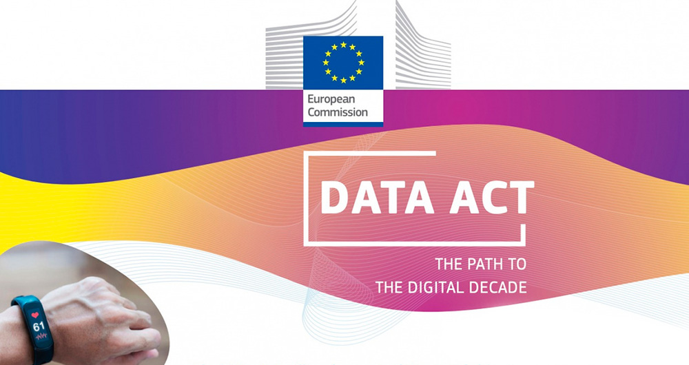
User access to data from connected products and related services in the new European Data Regulation ( Data Act)
The adoption of the Regulation (EU) of the European Parliament and of the Council of 13 December 2023 on harmonised rules for fair access to and use of data (Data Law) is an important step forward in the regulation of the European Union to facilitate data accessibility. This is an initiative already…

Our first digital navigation. Open source alternatives to Google Maps
In the vast technological landscape, few tools have made as deep a mark as Google Maps. Since its inception, this application has become the standard for finding and navigating points of interest on maps. But what happens when we look for options beyond the ubiquitous map application? In this post w…

Emerging Trends in Geospatial Data and AI
On September 8, the webinar \"Geospatial Trends 2023: Opportunities for data.europa.eu\" was held, organized by the Data Europa Academy and focused on emerging trends in the geospatial field. Specifically, the online conference addressed the concept of GeoAI (Geospatial Artificial Intelligence), whi…

Data Act, a new initiative in the framework of the European Data Strategy
Updated 02/29/24
At the end of 2021, an agreement was reached between the European Parliament and Member States to push forward the proposed Data Governance Act. The aim was to create processes and structures to facilitate the exchange of data between all relevant actors.
Shortly thereafter, it was…
The Spatial Data Infrastructure of Spain (IDEE), a benchmark for geospatial information
Throughout history, geospatial data have allowed humankind to better understand its environment. When we talk about geographic or spatial data, we refer to data "that implicitly or explicitly refer to a location relative to the Earth", according to the Spanish Standard UNE 148004:2018. Generally, th…

Hercules-ASIO Initiative. Integration, publication and consultation of linked open research data.
The Hercules initiative was launched in November 2017, through an agreement between the University of Murcia and the Ministry of Economy, Industry and Competitiveness, with the aim of developing a Research Management System (RMS) based on semantic open data that offers a global view of the research…
Use Cases of Copernicus data in Spain
Copernicus is one of the geospatial data programmes that is most in demand and the focus of attention of various organisations, private companies and citizens. The programme is run jointly by the European Space Agency (ESA) and the European Union through the European Environment Agency, and has two…
