19 posts found
How to prepare your data to work with artificial intelligence tools from a legal point of view
The idea of conceiving artificial intelligence (AI) as a service for immediate consumption or utility, under the premise that it is enough to "buy an application and start using it", is gaining more and more ground. However, getting on board with AI isn't like buying conventional software and gettin…

Geospatial intelligence and satellite data in defence: the strategic role of open data in Spain
In an increasingly interconnected and complex world, geospatial intelligence (GEOINT) has become an essential tool for defence and security decision-making . The ability to collect, analyse and interpret geospatial data enables armed forces and security agencies to better understand the operational…

Satellite Data Analysis: A Window on the World from Space - Application in Fisheries Monitoring and Management
Satellite data has become a fundamental tool for understanding and monitoring our planet from a unique perspective. This data, collected by satellites in orbit around the Earth, provides a global and detailed view of various terrestrial, maritime and atmospheric phenomena that have applications in m…

Building footprints: open data that saves lives in emergencies
In a world increasingly exposed to natural hazards and humanitarian crises, accurate and up-to-date geospatial data can make the difference between effective response and delayed reaction. The building footprints, i.e. the contours of buildings as they appear on the ground, are one of the most valua…

DGT datasets to help improve traffic and road safety
The General direction of traffic (DGT in its Spanish acronym) is the body responsible for ensuring safety and fluidity on the roads in Spain. Among other activities, it is responsible for the issuing of permits, traffic control and the management of infringements.
As a result of its activity, a larg…

Exploring space from the ground: open satellite data in Europe and its applications
The value of open satellite data in Europe
Satellites have become essential tools for understanding the planet and managing resources efficiently. The European Union (EU) has developed an advanced space infrastructure with the aim of providing real-time data on the environment, navigation and meteor…

New geospatial data capture techniques: innovations for more efficient data governance
Geospatial data capture is essential for understanding our environment, making informed decisions and designing effective policies in areas such as urban planning, natural resource management or emergency response. In the past, this process was mainly manual and labour-intensive, based on ground mea…

PET technologies: how to use protected data in a privacy-sensitive way
As organisations seek to harness the potential of data to make decisions, innovate and improve their services, a fundamental challenge arises: how can data collection and use be balanced with respect for privacy? PET technologies attempt to address this challenge. In this post, we will explore what…

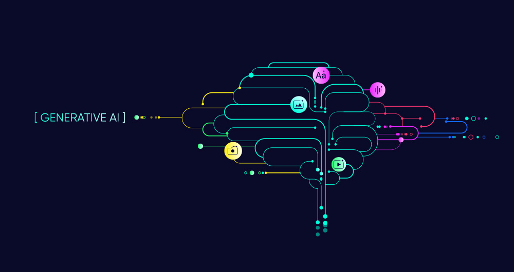
SLM, LLM, RAG and Fine-tuning: Pillars of Modern Generative AI
In the fast-paced world of Generative Artificial Intelligence (AI), there are several concepts that have become fundamental to understanding and harnessing the potential of this technology. Today we focus on four: Small Language Models(SLM), Large Language Models(LLM), Retrieval Augmented Generation…
RAG techniques: how they work and examples of use cases
In recent months we have seen how the large language models (LLMs ) that enable Generative Artificial Intelligence (GenAI) applications have been improving in terms of accuracy and reliability. RAG (Retrieval Augmented Generation) techniques have allowed us to use the full power of n…