12 posts found
AI tools for research and a new way to use language models
AI systems designed to assist us from the first dives to the final bibliography.
One of the missions of contemporary artificial intelligence is to help us find, sort and digest information, especially with the help of large language models. These systems have come at a time when we most need to mana…

Building footprints: open data that saves lives in emergencies
In a world increasingly exposed to natural hazards and humanitarian crises, accurate and up-to-date geospatial data can make the difference between effective response and delayed reaction. The building footprints, i.e. the contours of buildings as they appear on the ground, are one of the most valua…

Open source auto machine learning tools
The increasing complexity of machine learning models and the need to optimise their performance has been driving the development of AutoML (Automated Machine Learning) for years. This discipline seeks to automate key tasks in the model development lifecycle, such as algorithm selection, data process…

Open geographic data applications of the National Centre for Geographic Information (NICHD)
The National Centre for Geographic Information publishes open geospatial data from the National Cartographic System, the National Geographic Institute and other organisations through web applications and mobile applications to facilitate access to and consultation of geographic data by citizens.
Geo…

How to measure carbon footprint using open data
The carbon footprint is a key indicator for understanding the environmental impact of our actions. It measures the amount of greenhouse gas emissions released into the atmosphere as a result of human activities, most notably the burning of fossil fuels such as oil, natural gas and coal. These gases,…

What is the value of open geographic data?
Geographic data allow us to learn about the world around us. From locating optimal travel routes to monitoring natural ecosystems, from urban planning and development to emergency management, geographic data has great potential to drive development and efficiency in multiple economic and social area…

Accelerating the energy transition with open data
Aspects as relevant to our society as environmental sustainability, climate change mitigation or energy security have led to the energy transition taking on a very important role in the daily lives of nations, private and public organisations, and even in our daily lives as citizens of the world. Th…

Re3gistry: facilitating the semantic interoperability of data
The INSPIRE (Infrastructure for Spatial Information in Europe) Directive sets out the general rules for the establishment of an Infrastructure for Spatial Information in the European Community based on the Infrastructures of the Member States. Adopted by the European Parliament a…

Vinalod: The tool to make open datasets more accessible
Public administration is working to ensure access to open data, in order to empowering citizens in their right to information. Aligned with this objective, the European open data portal (data.europa.eu) references a large volume of data on a variety of topics.
However, although the data belong to di…

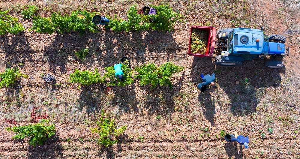
The benefits of open data in the agriculture and forestry sector: the case of Fruktia and Arbaria
As in other industries, digital transformation is helping to change the way the agriculture and forestry sector operates. Combining technologies such as geolocation or artificial intelligence and using open datasets to develop new precision tools is transforming agriculture into an increasingly tech…