13 posts found
How to build a Green Deal Data Space that complies with the FAIR principles
To achieve its environmental sustainability goals, Europe needs accurate, accessible and up-to-date information that enables evidence-based decision-making. The Green Deal Data Space (GDDS) will facilitate this transformation by integrating diverse data sources into a common, interoperable and open…

Building footprints: open data that saves lives in emergencies
In a world increasingly exposed to natural hazards and humanitarian crises, accurate and up-to-date geospatial data can make the difference between effective response and delayed reaction. The building footprints, i.e. the contours of buildings as they appear on the ground, are one of the most valua…

Environmental data spaces: key to the success of the European Green Pact
The European Green Deal (Green Deal) is the European Union's (EU) sustainable growth strategy, designed to drive a green transition that transforms Europe into a just and prosperous society with a modern and competitive economy. Within this strategy, initiatives such as Target 55 (Fit for 55), which…

Private company data sharing initiatives: success stories
In today's digital age, data sharing and opendatahave emerged as key pillars for innovation, transparency and economic development. A number of companies and organisations around the world are adopting these approaches to foster open access to information and enhance data-driven decision making. Bel…

Open geographic data applications of the National Centre for Geographic Information (NICHD)
The National Centre for Geographic Information publishes open geospatial data from the National Cartographic System, the National Geographic Institute and other organisations through web applications and mobile applications to facilitate access to and consultation of geographic data by citizens.
Geo…

How to measure carbon footprint using open data
The carbon footprint is a key indicator for understanding the environmental impact of our actions. It measures the amount of greenhouse gas emissions released into the atmosphere as a result of human activities, most notably the burning of fossil fuels such as oil, natural gas and coal. These gases,…

What is the value of open geographic data?
Geographic data allow us to learn about the world around us. From locating optimal travel routes to monitoring natural ecosystems, from urban planning and development to emergency management, geographic data has great potential to drive development and efficiency in multiple economic and social area…

Accelerating the energy transition with open data
Aspects as relevant to our society as environmental sustainability, climate change mitigation or energy security have led to the energy transition taking on a very important role in the daily lives of nations, private and public organisations, and even in our daily lives as citizens of the world. Th…

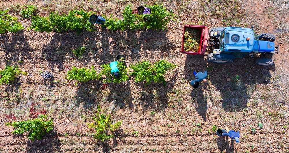
The benefits of open data in the agriculture and forestry sector: the case of Fruktia and Arbaria
As in other industries, digital transformation is helping to change the way the agriculture and forestry sector operates. Combining technologies such as geolocation or artificial intelligence and using open datasets to develop new precision tools is transforming agriculture into an increasingly tech…
Open data in the Spanish mobility strategy
Open mobility data plays a key role in transforming current transport networks and systems, promoting their digitization and improving their sustainability and efficiency. The European Union is aware of this situation, and for this reason it has not only included mobility data among the categories c…
