13 posts found
Urban Heat Islands: How Geospatial Open Data Can Make Our Cities More Resilient
Cities account for more than two-thirds of Europe's population and consume around 80% of energy. In this context, climate change is having a particularly severe impact on urban environments, not only because of their density, but also because of their construction characteristics, their energy metab…

Building footprints: open data that saves lives in emergencies
In a world increasingly exposed to natural hazards and humanitarian crises, accurate and up-to-date geospatial data can make the difference between effective response and delayed reaction. The building footprints, i.e. the contours of buildings as they appear on the ground, are one of the most valua…

New geospatial data capture techniques: innovations for more efficient data governance
Geospatial data capture is essential for understanding our environment, making informed decisions and designing effective policies in areas such as urban planning, natural resource management or emergency response. In the past, this process was mainly manual and labour-intensive, based on ground mea…

Digital twins: advantages and use cases in Spain
A digital twin is a virtual, interactive representation of a real-world object, system or process. We are talking, for example, about a digital replica of a factory, a city or even a human body. These virtual models allow simulating, analysing and predicting the behaviour of the original element, wh…

The Digital Transformation of the Construction Sector
Today, digital technologies are revolutionising various sectors, including the construction sector, driven by the European Digital Strategy which not only promotes innovation and the adoption of digital technologies, but also the use and generation of potentially open data. The incorporation of…

SLM, LLM, RAG and Fine-tuning: Pillars of Modern Generative AI
In the fast-paced world of Generative Artificial Intelligence (AI), there are several concepts that have become fundamental to understanding and harnessing the potential of this technology. Today we focus on four: Small Language Models(SLM), Large Language Models(LLM), Retrieval Augmented Generation…
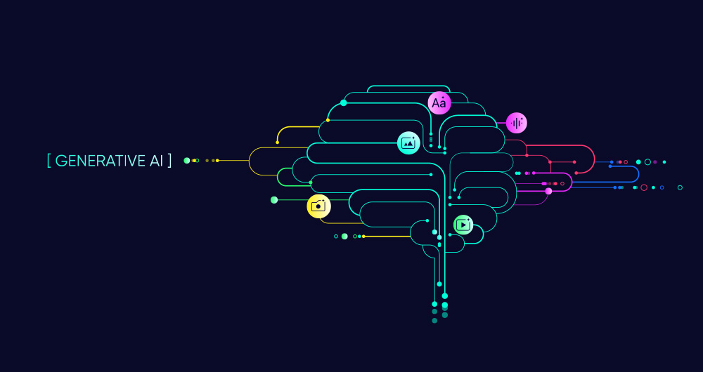
Open data and generative AI: synergies and use cases
Artificial intelligence (AI) is revolutionising the way we create and consume content. From automating repetitive tasks to personalising experiences, AI offers tools that are changing the landscape of marketing, communication and creativity.
These artificial intelligences need to be trained wi…

RAG techniques: how they work and examples of use cases
In recent months we have seen how the large language models (LLMs ) that enable Generative Artificial Intelligence (GenAI) applications have been improving in terms of accuracy and reliability. RAG (Retrieval Augmented Generation) techniques have allowed us to use the full power of n…

Open geographic data applications of the National Centre for Geographic Information (NICHD)
The National Centre for Geographic Information publishes open geospatial data from the National Cartographic System, the National Geographic Institute and other organisations through web applications and mobile applications to facilitate access to and consultation of geographic data by citizens.
Geo…

GRAPH QL. Your best ally for the creation of data products.
The era of digitalisation in which we find ourselves has filled our daily lives with data products or data-driven products. In this post we discover what they are and show you one of the key data technologies to design and build this kind of products: GraphQL.
Introduction
Let's start at the beginni…
