14 posts found
DCAT-AP-ES: A step forward in open data interoperability
Context and need for an update
Data is a key resource in the digital transformation of public administrations. Ensuring its access, interoperability and reuse is fundamental to improve transparency, foster innovation and enable the development of efficient public services centered on citizens.
In th…
HealthDCAT-AP: The Standard That Connects Health Data to People
Data is the engine of innovation, and its transformative potential is reflected in all areas, especially in health. From faster diagnoses to personalized treatments to more effective public policies, the intelligent use of health information has the power to change lives in profound and meaningful w…
Open geographic data applications of the National Centre for Geographic Information (NICHD)
The National Centre for Geographic Information publishes open geospatial data from the National Cartographic System, the National Geographic Institute and other organisations through web applications and mobile applications to facilitate access to and consultation of geographic data by citizens.
Geo…
What is the value of open geographic data?
Geographic data allow us to learn about the world around us. From locating optimal travel routes to monitoring natural ecosystems, from urban planning and development to emergency management, geographic data has great potential to drive development and efficiency in multiple economic and social area…
Our first digital navigation. Open source alternatives to Google Maps
In the vast technological landscape, few tools have made as deep a mark as Google Maps. Since its inception, this application has become the standard for finding and navigating points of interest on maps. But what happens when we look for options beyond the ubiquitous map application? In this post w…
Emerging Trends in Geospatial Data and AI
On September 8, the webinar \"Geospatial Trends 2023: Opportunities for data.europa.eu\" was held, organized by the Data Europa Academy and focused on emerging trends in the geospatial field. Specifically, the online conference addressed the concept of GeoAI (Geospatial Artificial Intelligence), whi…
A common language to enable interoperability between open dataset catalogs
Open data plays a relevant role in technological development for many reasons. For example, it is a fundamental component in informed decision making, in process evaluation or even in driving technological innovation. Provided they are of the highest quality, up-to-date and ethically sound, data can…
Edge computing and its importance in real-time data management
Autonomous vehicles, smart waste management services, trainers that monitor how much we exercise... We live in an increasingly digital and connected environment, with greater similarities to the future we dreamed of as children. It is the so-called Internet of Things (IoT), a network of physical obj…
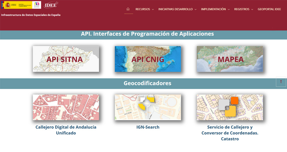
The Spatial Data Infrastructure of Spain (IDEE), a benchmark for geospatial information
Throughout history, geospatial data have allowed humankind to better understand its environment. When we talk about geographic or spatial data, we refer to data "that implicitly or explicitly refer to a location relative to the Earth", according to the Spanish Standard UNE 148004:2018. Generally, th…
The benefits of publishing open mobility data in cities
Mobility is a key economic driver. Increasing the efficiency and quality of a country's mobility system contributes both to the strength of its economy and to improving the quality of life of its citizens. This is particularly important in the mobility systems of cities and their metropolitan areas,…


