12 posts found
Urban Heat Islands: How Geospatial Open Data Can Make Our Cities More Resilient
Cities account for more than two-thirds of Europe's population and consume around 80% of energy. In this context, climate change is having a particularly severe impact on urban environments, not only because of their density, but also because of their construction characteristics, their energy metab…

Building footprints: open data that saves lives in emergencies
In a world increasingly exposed to natural hazards and humanitarian crises, accurate and up-to-date geospatial data can make the difference between effective response and delayed reaction. The building footprints, i.e. the contours of buildings as they appear on the ground, are one of the most valua…

New geospatial data capture techniques: innovations for more efficient data governance
Geospatial data capture is essential for understanding our environment, making informed decisions and designing effective policies in areas such as urban planning, natural resource management or emergency response. In the past, this process was mainly manual and labour-intensive, based on ground mea…

Digital twins: advantages and use cases in Spain
A digital twin is a virtual, interactive representation of a real-world object, system or process. We are talking, for example, about a digital replica of a factory, a city or even a human body. These virtual models allow simulating, analysing and predicting the behaviour of the original element, wh…

The Digital Transformation of the Construction Sector
Today, digital technologies are revolutionising various sectors, including the construction sector, driven by the European Digital Strategy which not only promotes innovation and the adoption of digital technologies, but also the use and generation of potentially open data. The incorporation of…

Open geographic data applications of the National Centre for Geographic Information (NICHD)
The National Centre for Geographic Information publishes open geospatial data from the National Cartographic System, the National Geographic Institute and other organisations through web applications and mobile applications to facilitate access to and consultation of geographic data by citizens.
Geo…

How Artificial Intelligence and Open Data can re-imagine the way we design our cities
After months of new developments, the pace of advances in artificial intelligence does not seem to be slowing down - quite the contrary. A few weeks ago, when reviewing the latest developments in this field on the occasion of the 2023 deadline, video generation from text instructions was consid…

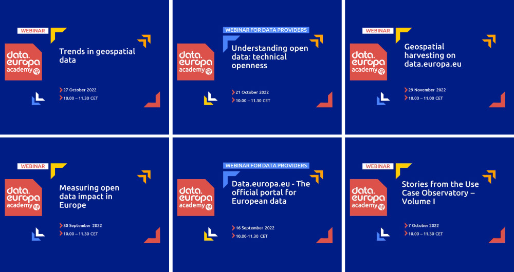
From the legal perspective of open data to the importance of its re-use: 15 data.europa.eu webinars to broaden your knowledge
Over the past year, the academic section of data.europa.eu expanded its open data training offer by publishing new conferences, courses and workshops. Thus, data.europa.academy shared a total of 15 webinars related to open data, data spaces and other topics and technical issues around the data econo…
Applications of [open] data science for agriculture
In many areas, there is a false belief that the primary sector is a technologically backward sector that is not involved in digitization. Perhaps because throughout history, as economic development indicators progressed, their weight in GDP and employment rates has been decreasing in favor of other…

The search engine Linknovate and the virtual library Biblioteca Virtual Cervantes, Aporta Awards 2017
The innovative search engine Linknovate and the virtual library Biblioteca Virtual Miguel de Cervantes have been the two winning projects of the first edition of the Aporta Awards 2017. An initiative promoted by the Secretary of State for the Information Society, Red.es and the General Secretariat o…
