9 posts found
Changes to the INSPIRE cchemes: What do they mean and how to adapt?
In February 2024, the European geospatial community took a major step forward with the first major update of the INSPIRE implementation schemes in almost a decade. This update, which generates version 5.0 of the schemas, introduces changes that affect the way spatial data are harmonised, transformed…

GeoPackage in INSPIRE: efficiency and usability for geospatial data geospatial data.
In the field of geospatial data, encoding and standardisation play a key role in ensuring interoperability between systems and improving accessibility to information.
The INSPIRE Directive (Infrastructure for Spatial Information in Europe) determines the general rules for the establishment of an Inf…

Complying with Europe. The Mobility High Value Datasets Regulation
Spain, as part of the European Union, is committed to the implementation of the European directives on open data and re-use of public sector information. This includes the adoption of initiatives such as the Implementing Regulation (EU) 2023/138 issued by the European Commission, whic…

Complying with Europe. The High Value Sites of Earth Observation and Environment Regulation
The European Commission Implementing Regulation (EU) 2023/138 sets clear guidelines for public bodies on the availability of high-value datasets within 16 months from 20 January 2023. These high-value high value datasets (High value datasets or HVD) are grouped into the following themes, which were…

What is the value of open geographic data?
Geographic data allow us to learn about the world around us. From locating optimal travel routes to monitoring natural ecosystems, from urban planning and development to emergency management, geographic data has great potential to drive development and efficiency in multiple economic and social area…

Complying with Europe: Inspire and the High Value Geospatial Assemblies Regulation
The Implementing Regulation (EU) 2023/138 of the European Commission sets clear guidelines for public bodies on the availability of high-value datasets within 16 months. These high-value datasets are grouped into the following themes, which were already described in this post post:
This article foc…

This is the new FEMP Model Ordinance on Data Governance
The Spanish Federation of Municipalities and Provinces (FEMP) approved at the end of 2023 two model ordinances that address progress in two key areas: transparency and data governance. Both documents will not only improve the quality of processes, but also facilitate access, managemen…

Most popular geospatial visualisation tools
Maps help us to understand the world in which we live and have therefore been fundamental in the development of humanity. They allow us to know the characteristics of a place and to understand social phenomena, such as the spatial behaviour of a disease or the traceability of trade flows.
If we sho…

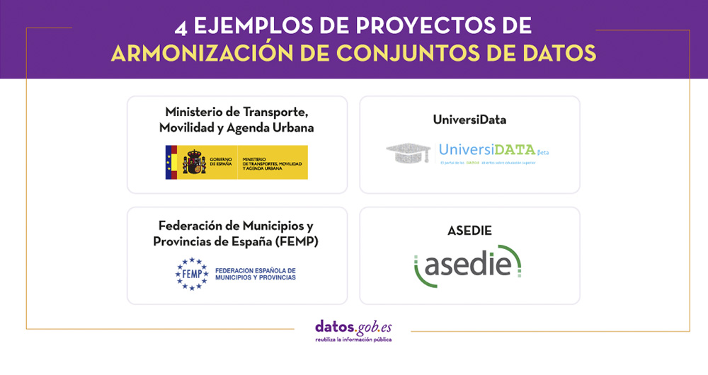
4 examples of harmonisation of datasets
In any project related to data, it is common to have different sources of information. Data is key for companies and public administrations, in decision making or as a basis for the implementation of projects, services or products. But if these data sources display information in a heterogeneous way…