11 posts found
Changes to the INSPIRE cchemes: What do they mean and how to adapt?
In February 2024, the European geospatial community took a major step forward with the first major update of the INSPIRE implementation schemes in almost a decade. This update, which generates version 5.0 of the schemas, introduces changes that affect the way spatial data are harmonised, transformed…

GeoPackage in INSPIRE: efficiency and usability for geospatial data geospatial data.
In the field of geospatial data, encoding and standardisation play a key role in ensuring interoperability between systems and improving accessibility to information.
The INSPIRE Directive (Infrastructure for Spatial Information in Europe) determines the general rules for the establishment of an Inf…

Complying with Europe. The Mobility High Value Datasets Regulation
Spain, as part of the European Union, is committed to the implementation of the European directives on open data and re-use of public sector information. This includes the adoption of initiatives such as the Implementing Regulation (EU) 2023/138 issued by the European Commission, whic…

Complying with Europe. The High Value Sites of Earth Observation and Environment Regulation
The European Commission Implementing Regulation (EU) 2023/138 sets clear guidelines for public bodies on the availability of high-value datasets within 16 months from 20 January 2023. These high-value high value datasets (High value datasets or HVD) are grouped into the following themes, which were…

How to present open data accessibly
Open data should be inherently accessible, meaning it must be available for free and without barriers that could restrict access and reuse. Accessibility is a fundamental and complex issue because it means that these data sets should not only be available in reusable formats but also that anyone sho…

What is the value of open geographic data?
Geographic data allow us to learn about the world around us. From locating optimal travel routes to monitoring natural ecosystems, from urban planning and development to emergency management, geographic data has great potential to drive development and efficiency in multiple economic and social area…

Big Data Test Infrastructure: A free environment for public administrations to experiment with open data
The Big Data Test Infrastructure (BDTI) is a tool funded by the European Digital Agenda, which enables public administrations to perform analysis with open data and open source tools in order to drive innovation.
This free-to-use, cloud-based tool was created in 2019 to accelerate d…

Complying with Europe: Inspire and the High Value Geospatial Assemblies Regulation
The Implementing Regulation (EU) 2023/138 of the European Commission sets clear guidelines for public bodies on the availability of high-value datasets within 16 months. These high-value datasets are grouped into the following themes, which were already described in this post post:
This article foc…

European Webinars: Open Data to Drive the Economy and Democracy in Europe
Open data is a highly valuable source of knowledge for our society. Thanks to it, applications can be created that contribute to social development and solutions that help shape Europe's digital future and achieve the Sustainable Development Goals (SDGs).
The European Open Data portal (data.europe.e…

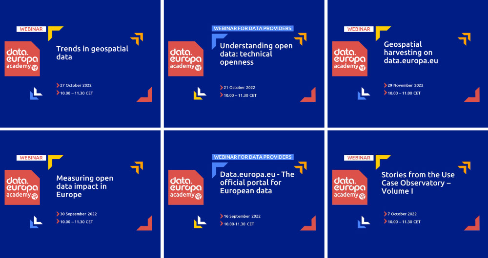
From the legal perspective of open data to the importance of its re-use: 15 data.europa.eu webinars to broaden your knowledge
Over the past year, the academic section of data.europa.eu expanded its open data training offer by publishing new conferences, courses and workshops. Thus, data.europa.academy shared a total of 15 webinars related to open data, data spaces and other topics and technical issues around the data econo…