37 posts found
How to build a citizen science initiative considering open data from the start
Citizen participation in the collection of scientific data promotes a more democratic science, by involving society in R+D+i processes and reinforcing accountability. In this sense, there are a variety of citizen science initiatives launched by entities such as CSIC, CENEAM or CREAF, among oth…

Urban Heat Islands: How Geospatial Open Data Can Make Our Cities More Resilient
Cities account for more than two-thirds of Europe's population and consume around 80% of energy. In this context, climate change is having a particularly severe impact on urban environments, not only because of their density, but also because of their construction characteristics, their energy metab…

Thinking Out Loud: Prompts to Simulate Human Reasoning with AI
In the usual search for tricks to make our prompts more effective, one of the most popular is the activation of the chain of thought. It consists of posing a multilevel problem and asking the AI system to solve it, but not by giving us the solution all at once, but by making visible step by step the…

Evaluate to trust: the key role of validation and open data in generative AI
Generative artificial intelligence is beginning to find its way into everyday applications ranging from virtual agents (or teams of virtual agents) that resolve queries when we call a customer service centre to intelligent assistants that automatically draft meeting summaries or report proposals in…

Geospatial intelligence and satellite data in defence: the strategic role of open data in Spain
In an increasingly interconnected and complex world, geospatial intelligence (GEOINT) has become an essential tool for defence and security decision-making . The ability to collect, analyse and interpret geospatial data enables armed forces and security agencies to better understand the operational…

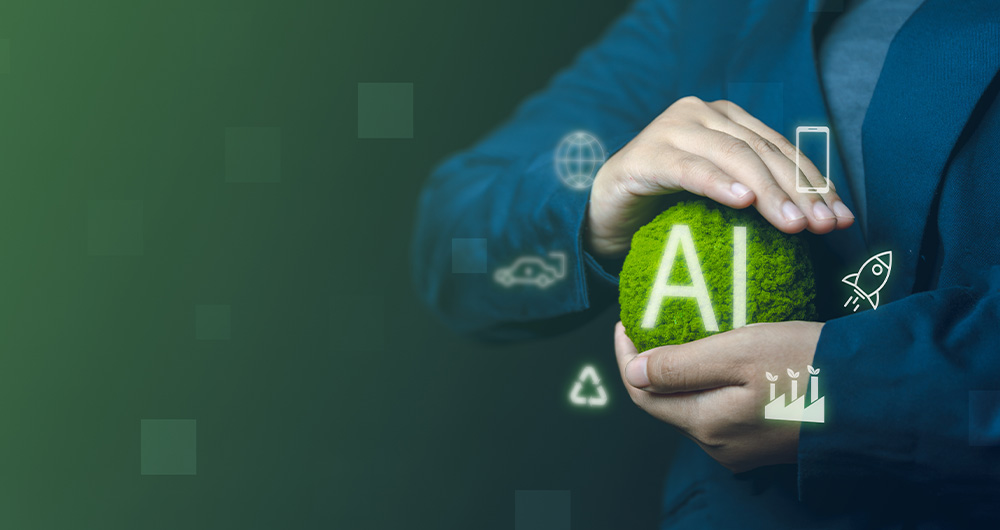
Sustainable artificial intelligence: how to minimise the environmental impact of AI
Artificial intelligence (AI) has become a key technology in multiple sectors, from health and education to industry and environmental management, not to mention the number of citizens who create texts, images or videos with this technology for their own personal enjoyment. It is estimated that in Sp…
The importance of licences in the digital environment: an approach accessible to all
In an increasingly digitised world, the creation, use and distribution of software and data have become essential activities for individuals, businesses and government organisations. However, behind these everyday practices lies a crucial aspect: licensingof both software and data.
Understanding wha…

Satellite Data Analysis: A Window on the World from Space - Application in Fisheries Monitoring and Management
Satellite data has become a fundamental tool for understanding and monitoring our planet from a unique perspective. This data, collected by satellites in orbit around the Earth, provides a global and detailed view of various terrestrial, maritime and atmospheric phenomena that have applications in m…

Building footprints: open data that saves lives in emergencies
In a world increasingly exposed to natural hazards and humanitarian crises, accurate and up-to-date geospatial data can make the difference between effective response and delayed reaction. The building footprints, i.e. the contours of buildings as they appear on the ground, are one of the most valua…

How Copernicus geospatial data drives innovation in the energy sector
Geospatial data has driven improvements in a number of sectors, and energy is no exception. This data allows us to better understand our environment in order to promote sustainability, innovation and informed decision-making.
One of the main providers of open geospatial data is Copernicus, the Europ…
