11 posts found
Open Data Editor: discover the free and open source tool for processing data
How many times have you had a dataset in your hands that you needed to analyze, but you've run into errors, inconsistencies, or formatting issues that have caused you to lose hours of work? The reality is that, although we have more data available every day, we do not always have the necessary tools…
Thinking Out Loud: Prompts to Simulate Human Reasoning with AI
In the usual search for tricks to make our prompts more effective, one of the most popular is the activation of the chain of thought. It consists of posing a multilevel problem and asking the AI system to solve it, but not by giving us the solution all at once, but by making visible step by step the…

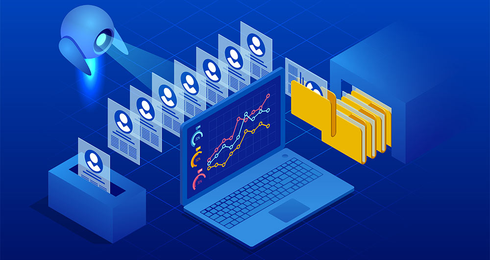
Evaluate to trust: the key role of validation and open data in generative AI
Generative artificial intelligence is beginning to find its way into everyday applications ranging from virtual agents (or teams of virtual agents) that resolve queries when we call a customer service centre to intelligent assistants that automatically draft meeting summaries or report proposals in…

Benefits and opportunities of public initiatives for open data visualisation
Imagine you want to know how many terraces there are in your neighbourhood, how the pollen levels in the air you breathe every day are evolving or whether recycling in your city is working well. All this information exists in your municipality's databases, but it sits in spreadsheets and technical d…

How Copernicus geospatial data drives innovation in the energy sector
Geospatial data has driven improvements in a number of sectors, and energy is no exception. This data allows us to better understand our environment in order to promote sustainability, innovation and informed decision-making.
One of the main providers of open geospatial data is Copernicus, the Europ…

Open data for navigating cities
Open data can transform how we interact with our cities, offering opportunities to improve quality of life. When made publicly available, they enable the development of innovative applications and tools that address urban challenges, from accessibility to road safety and participation.
Real-time inf…

Open geographic data applications of the National Centre for Geographic Information (NICHD)
The National Centre for Geographic Information publishes open geospatial data from the National Cartographic System, the National Geographic Institute and other organisations through web applications and mobile applications to facilitate access to and consultation of geographic data by citizens.
Geo…

A common language to enable interoperability between open dataset catalogs
Open data plays a relevant role in technological development for many reasons. For example, it is a fundamental component in informed decision making, in process evaluation or even in driving technological innovation. Provided they are of the highest quality, up-to-date and ethically sound, data can…

MAMD Methodology: The Alarcos Model of Data Improvement
There is such a close relationship between data management, data quality management and data governance that the terms are often used interchangeably or confused. However, there are important nuances.
The overall objective of data management is to ensure that data meets the business requirements tha…
How to promote improvements in public administration using open data
In the current economic, social and technological context, where everything changes at high speed, citizens demand agile and flexible services. The influence of native digital companies, adapted to the specific needs of their customers, thanks to the use of algorithms and cutting-edge technological…
