13 posts found
Satellite Data Analysis: A Window on the World from Space - Application in Fisheries Monitoring and Management
Satellite data has become a fundamental tool for understanding and monitoring our planet from a unique perspective. This data, collected by satellites in orbit around the Earth, provides a global and detailed view of various terrestrial, maritime and atmospheric phenomena that have applications in m…

New geospatial data capture techniques: innovations for more efficient data governance
Geospatial data capture is essential for understanding our environment, making informed decisions and designing effective policies in areas such as urban planning, natural resource management or emergency response. In the past, this process was mainly manual and labour-intensive, based on ground mea…

Citizen science projects that encourage public knowledge
Citizen science is consolidating itself as one of the most relevant sources of most relevant sources of reference in contemporary research contemporary research. This is recognised by the Centro Superior de Investigaciones Científicas (CSIC), which defines citizen science as a methodology and a mean…

Open geographic data applications of the National Centre for Geographic Information (NICHD)
The National Centre for Geographic Information publishes open geospatial data from the National Cartographic System, the National Geographic Institute and other organisations through web applications and mobile applications to facilitate access to and consultation of geographic data by citizens.
Geo…

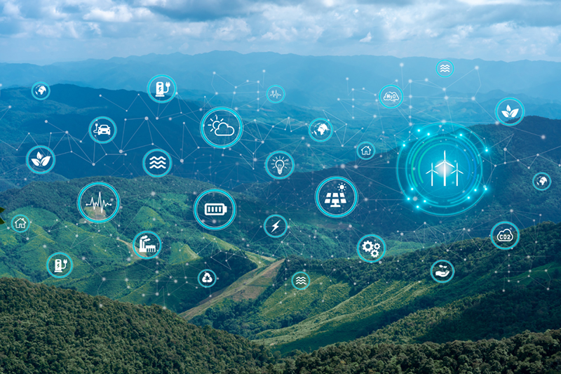
Open data to drive energy efficiency and sustainability
The promotion of energy efficiency and sustainability is one of the priorities of the European Union and Spain, as reflected in the European Green Pact. The availability of open data related to energy production, distribution and consumption allows governments, businesses and citizens to access…

Invisibilisation and algorithmic discrimination
Digital technology and algorithms have revolutionised the way we live, work and communicate. While promising efficiency, accuracy and convenience, these technologies can exacerbate prejudice and social inequalities exacerbate prejudice and social inequalities and create new forms of exclusion and cr…

Open data and climate change: essential information for a sustainable future
In recent years, climate change has become one of the most pressing challenges of our time because, according to the main reports of different international institutions, it is accelerating beyond the most pessimistic forecasts. Rising global temperatures, melting glaciers, rising sea levels and the…
Hot OSM: Collaborative mapping to coordinate emergency response
The humanitarian crisis following the earthquake in Haiti in 2010 was the starting point for a voluntary initiative to create maps to identify the level of damage and vulnerability by areas, and thus to coordinate emergency teams. Since then, the collaborative mapping project known as Hot OSM (OpenS…

The gender gap: inequality is also in the data
Today, 8 March is the day on which we commemorate women's struggle to achieve their full participation in society, as well as giving visibility to the current gender inequality and demanding global action for effective equality of rights in all areas.
However, the data seem to indicate that we still…

Formulas for accelerating data collaboration
After a period in which efforts were focused on releasing data, mainly from the public sector, in conditions in which it could be reused to create value in its different forms (economic, social, cultural, etc.), we are finding increasing activity around collaboration between organizations to solve b…